SOLD: Coed Y Cawr £65,000 Freehold
- Abergele, Conwy
- about 6.5 acres
- North Wales
-
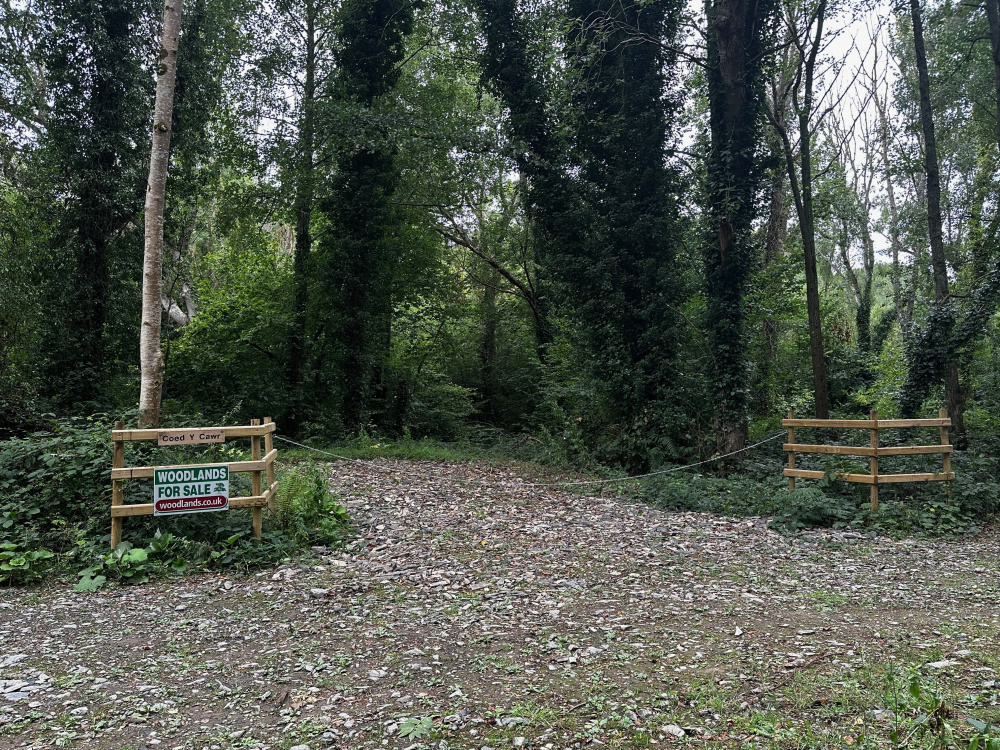
Welcome to Coed Y Cawr!
-
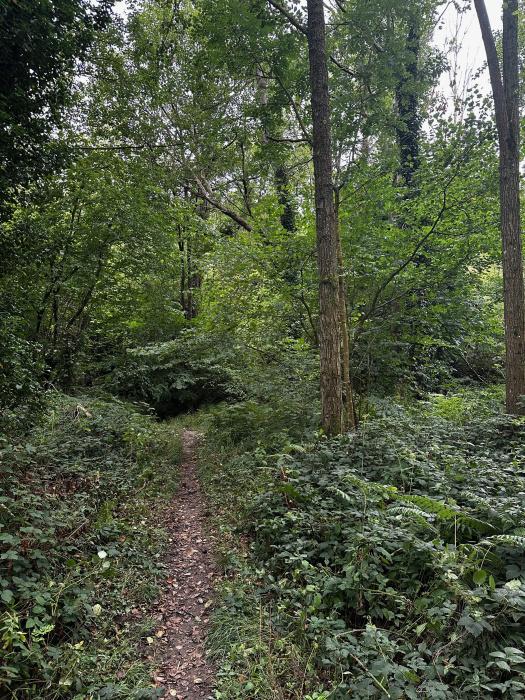
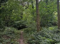
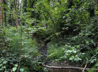
A path leads you to the stream
-
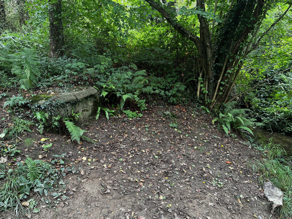
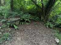
Old stonework makes a convenient seat
-
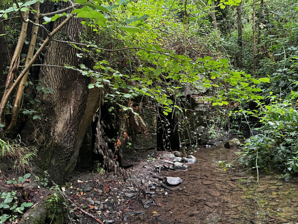
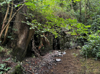
Remains of a stone bridge now hidden by the years...
-
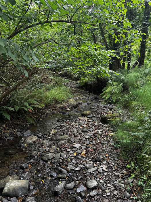
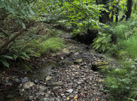
The east side is flat next to the stream
-
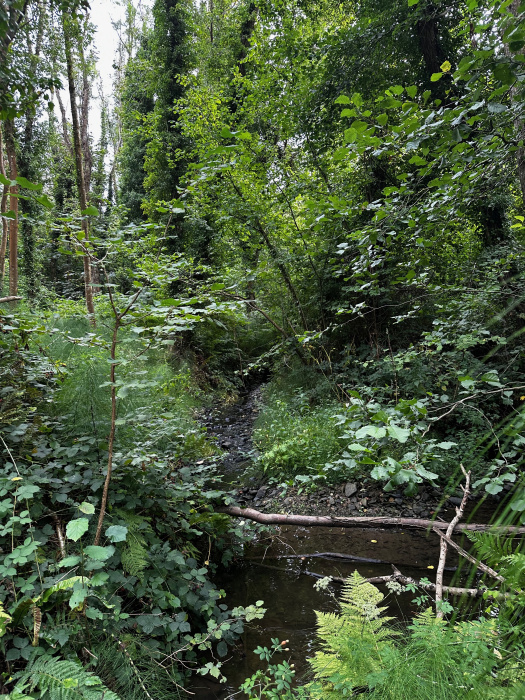
Hidden corners
-
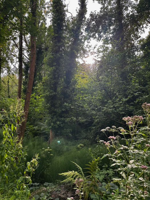
September sun
-
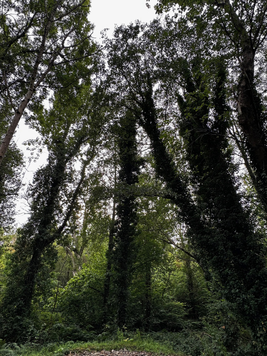
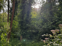
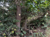
Heading into Coed Y Cawr
-
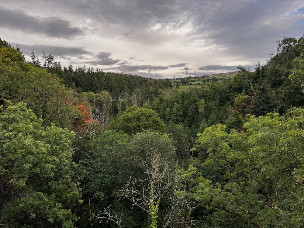
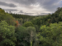
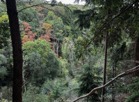
View across the woodland from above
-
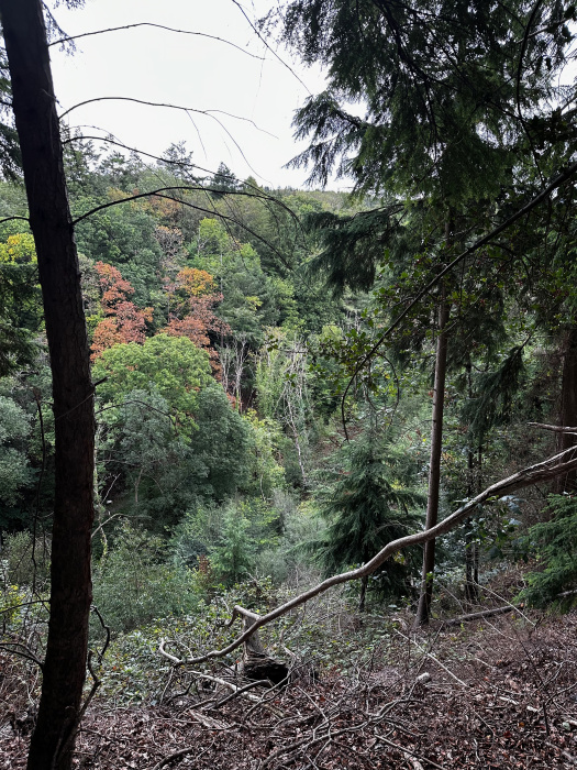
Looking down to the stream
-
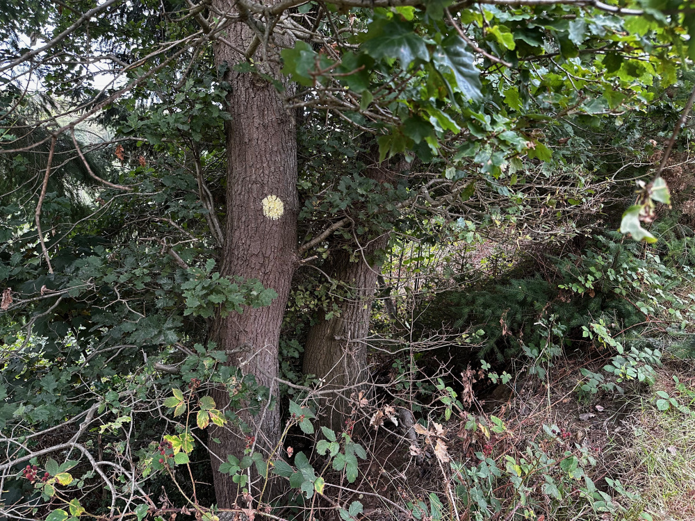
Boundaries marked by yellow paint
-
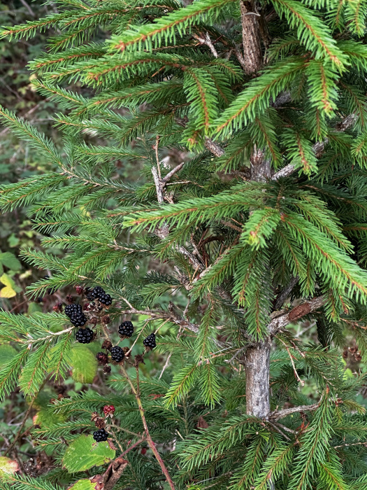
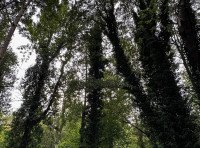
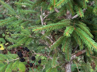
Conifers and blackberries
Description
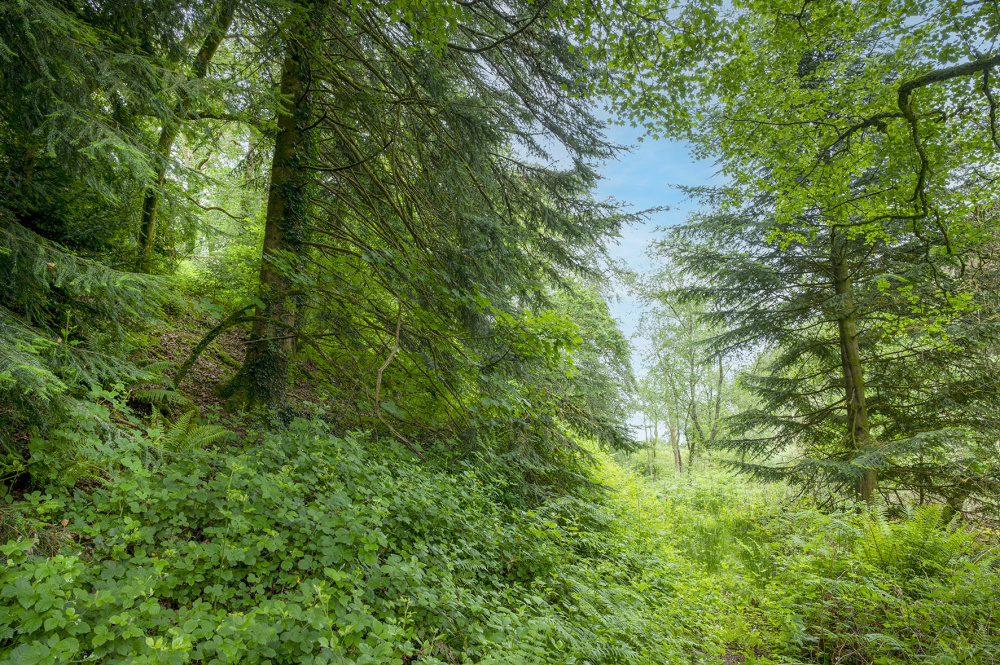
Coed Y Cawr is a richly populated mix of a regenerating woodland, which meets more established conifers on the western slopes of the Afon Gele valley at Abergele. A secret trail takes you from the private parking space, down to the stream, passing the ancient remains of a stone bridge, and up into the ways of the woodland beyond.
Here you'll find animal track and footpaths leading up into a dense and varied wood as the land slopes up the valley side.
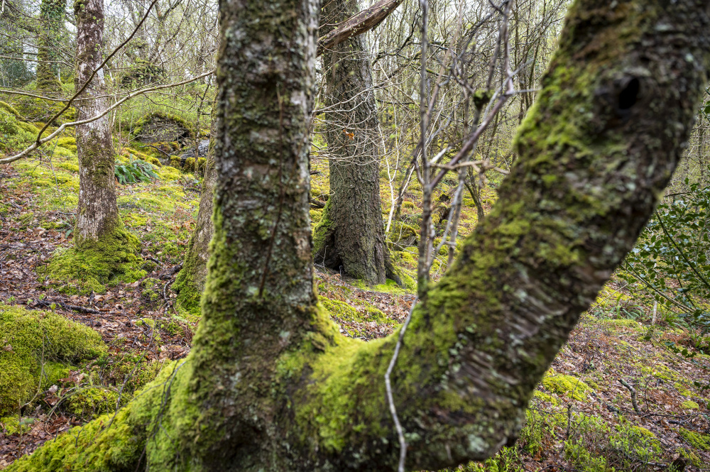
A wildlife haven, Coed Y Cawr has a stock of planted conifers in some statuesque rows, but the wood around has grown up and created a myriad of habitats, some dense filled with hazel and holly.
Alongside the river itself there is a mix of ash, oak and other broadleaf trees.
From the top of the valley there's a footpath running along the western edge where the upper slopes can be accessed.
Trees
Oak and ash on the upper slopes, a mix of broadleaf in the stream side, including ash, alder and willow. Douglas fir thorough the mid slopes and a riot of broadleaf regeneration.
Wildlife
Lots of birds: Jay, woodcock, redstarts, woodpeckers, siskins, ravens and lots of the little brown ones. Large mammals include deer and badgers.
Features
Flat on the eastern edges, with level ground by the banks of the stream, then rising to the west in the slopes of the valley, before a final steep section tops out on the slopes adjoining the fields on the boundary of the western edge. A stream runs through the wood from the south to the north.
Access, tracks and footpaths
There is a newly refurbished track leading to the wood where there is private car parking. A path from the parking area leads into the wood, but there is no public right of entry into this wood from the parking. Along the top of the valley, a public right of way runs along the far western boundary.
Rights and covenants
As is the case for all our woodlands, the purchaser will be asked to enter into a covenant which serves to protect the peace and quiet of the woodland.
Activities
Local activities include:
Knightly’s Fun Park
Pensarn Beach
The Peculiar Gallery http://www.thepeculiargallery.co.uk/
Abergele Golf Club https://www.abergelegolfclub.co.uk/
Caffi Crempog - we really like the toasties!
Cycling - Route 5 https://www.komoot.com/guide/2797341/cycling-around-abergele
Walking - Coed Y Copa https://www.woodlandtrust.org.uk/visiting-woods/woods/coed-y-gopa/
Site of Roman and Stone Age significance
And then of course the wonderful Eryri National Park https://eryri.gov.wales/
Local area and history
Abergele, meaning "mouth of the Gele" in Welsh, is a historic market town on the North Wales coast with roots dating back to a 9th-century Celtic monastery and potential Roman origins. It became a significant medieval lordship center, known for the 13th-century St. Michael’s Church and the imposing 19th-century Gwrych Castle.
The history of Abergele Hospital can be found here.
Gwrych Castle nearby has an interesting past: https://www.conwyvalleynorthwalescoast.com/station/abergele-and-pensarn/
Gele is a dialectal form of gelau, which means spear, describing the action or speed of the river cutting through the land.
Wood maps
This wood is now sold, please do not visit the wood without the permission of the owner.
Find this wood
This wood is now sold, please do not visit the wood without the permission of the owner.
Location
- OS Landranger: OS No. 116
- Grid ref: SH 950 749
- Nearest post code: LL22 9BB
- GPS coordinates: 53.2613, -3.57524
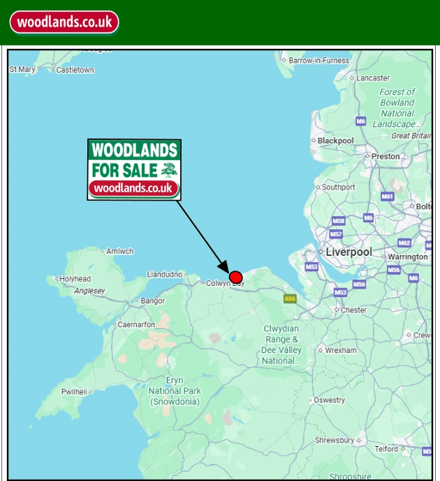
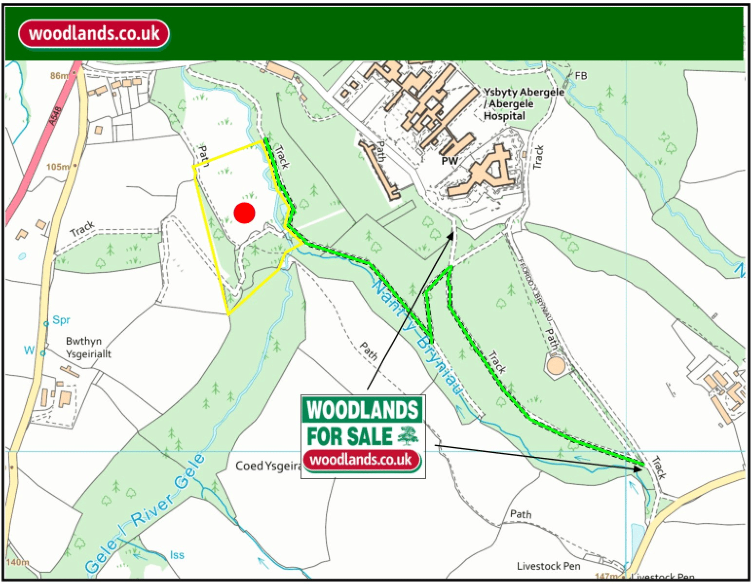
Location map
Directions
Entrance to the main Woodland can be found at:
W3W: daylight.adjuster.vaccines
https://maps.app.goo.gl/3og4u6fugccKcTCw8
Directions:
From the North Wales Express Way (A55) take the turning towards Abergele, and the through the town towards Llanfair Talhaiarn on the A548.
After 2.4 miles turn left onto the Roman Road B5381 at the Pentrefail turning (by the Caravan Park).
Follow this for 0.8 miles. The entrance is a small trackway on the left. Follow this track to the main entrance by the gate.
The combination and keys will be given to new owners.
Please park considerately, this track is in use regularly.
Temporarily access can also be through from Abergele Eye Hospital Car Park, however please be respectful of patient parking spaces as a priority. Follow the path through the metal gate and then the internal woodland track down to Coed y Cawr.
For the individual Woodlands please refer to the Maps.
How we support our buyers
Membership of the small woodland owners’ group

£300 for a woodland course of your choice
One year's free membership of the royal forestry society
Please note this wood is owned by woodlands.co.uk.
Our regional managers are often out working in our woodlands, so if you email an offer and want to be sure it has been received, please phone our manager on their mobile phone. The first offer at the stated price which is accepted, whether by phone or email, has priority.
Please take care when viewing as the great outdoors can contain unexpected hazards and woodlands are no exception. You should exercise common sense and caution, such as wearing appropriate footwear and avoiding visiting during high winds.
These particulars are for guidance only and, though believed to be correct, do not form part of any contract. Woodland Investment Management Ltd hereby give notice under section 21 of the Estate Agents Act 1979 of their interest in the land being sold.
A varied and wildlife rich woodland in a river valley with a mix of broadleaf and conifer trees, and access to the Afon Gele - a small river on the west side.