SOLD: Rockvale £25,000 Freehold
- Ballintoy, Ballycastle, Antrim
- about 3¼ acres
- Northern Ireland
-
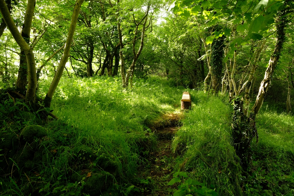
Path to bench
-
Early Spring
-
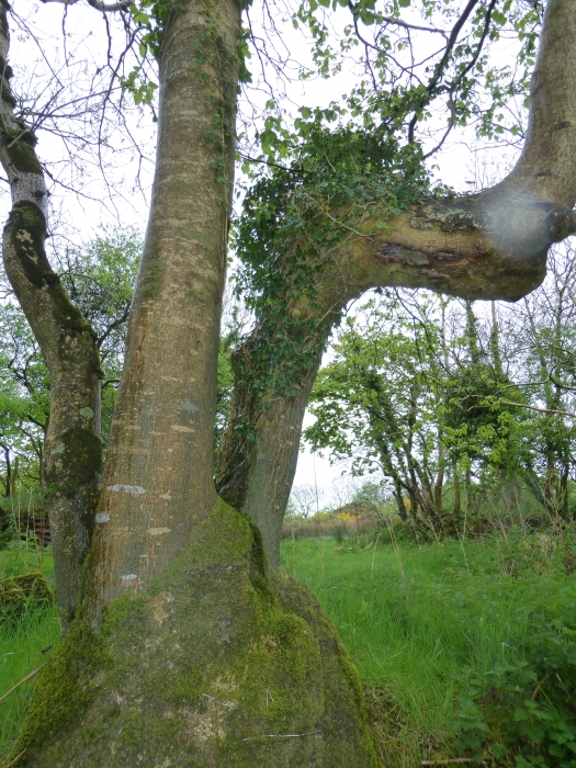
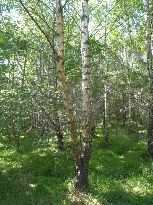
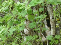
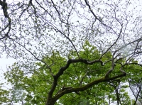
Multi-Stemmed Ash
-
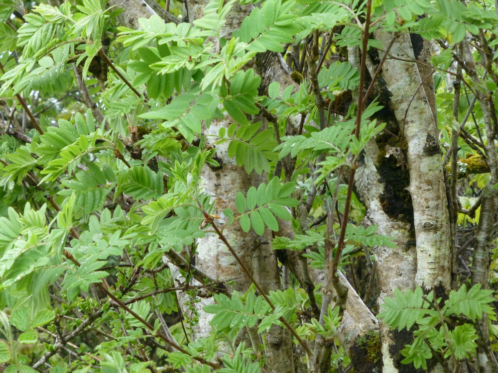
Rowan
-
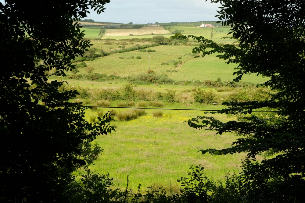
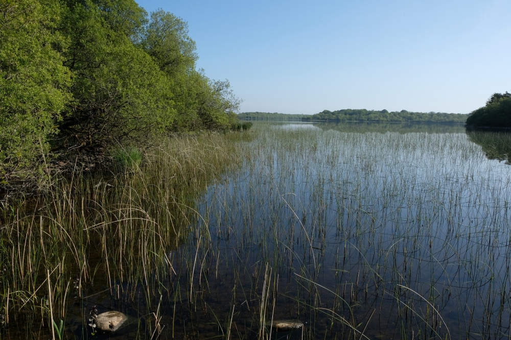
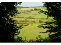
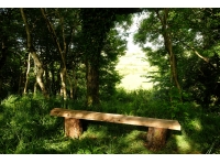
Peaceful countryside view from the bench
-
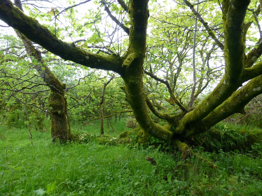
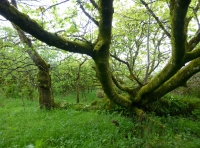
Elm and Sycamore
-
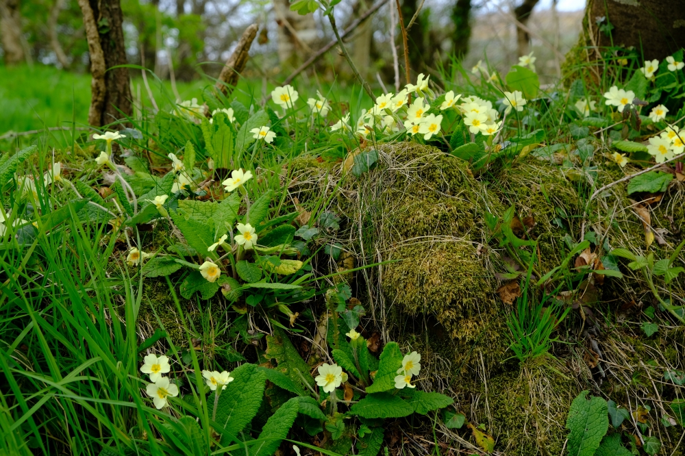
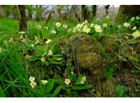
Primroses
-
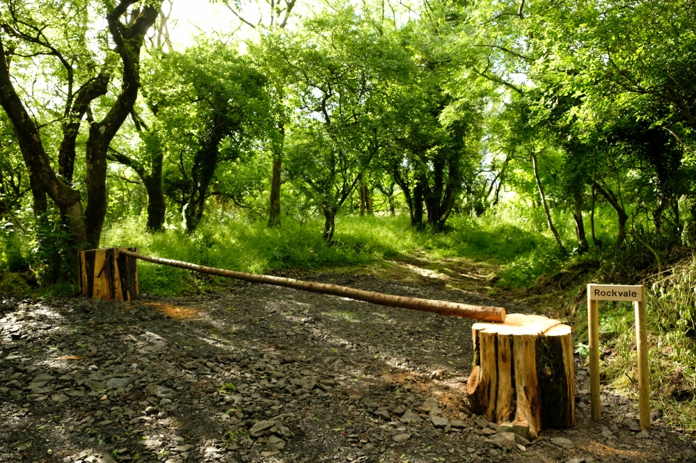
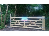
The entrance to Rockvale
-
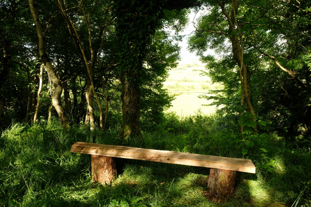
A Bench with a View
-
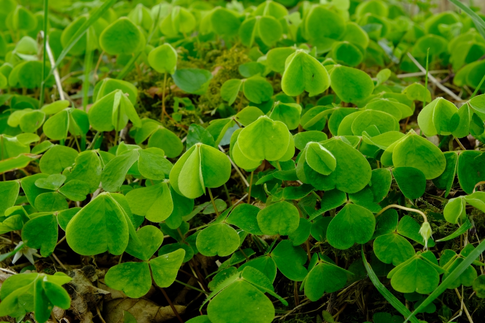
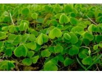
Wood Sorrell
-
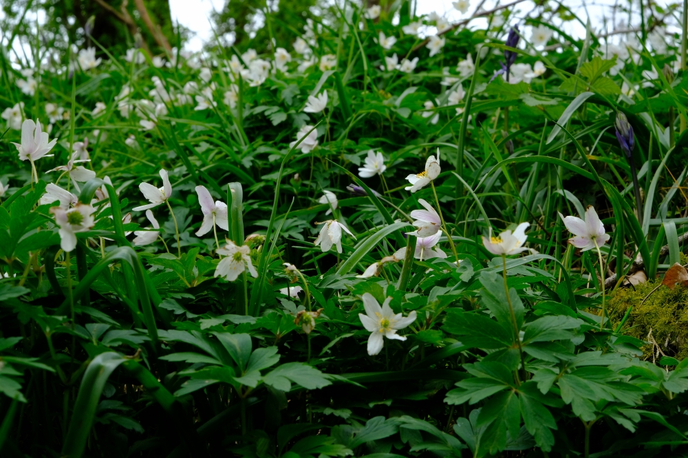
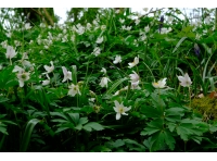
Wood Anemones
-
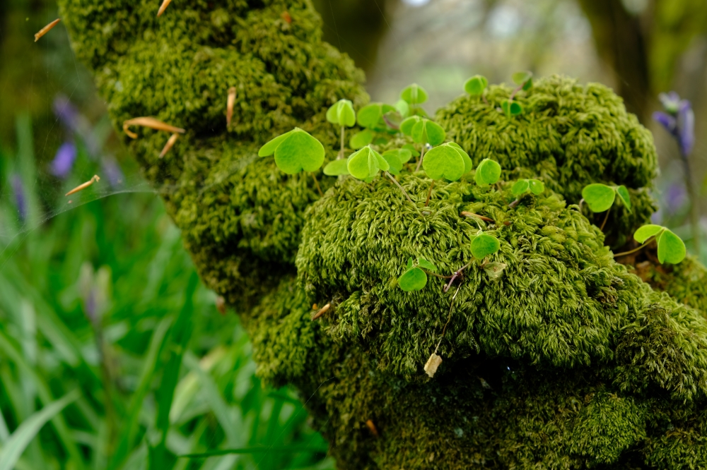
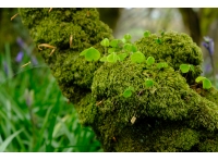
Wood Sorrell on mossy trunk
-
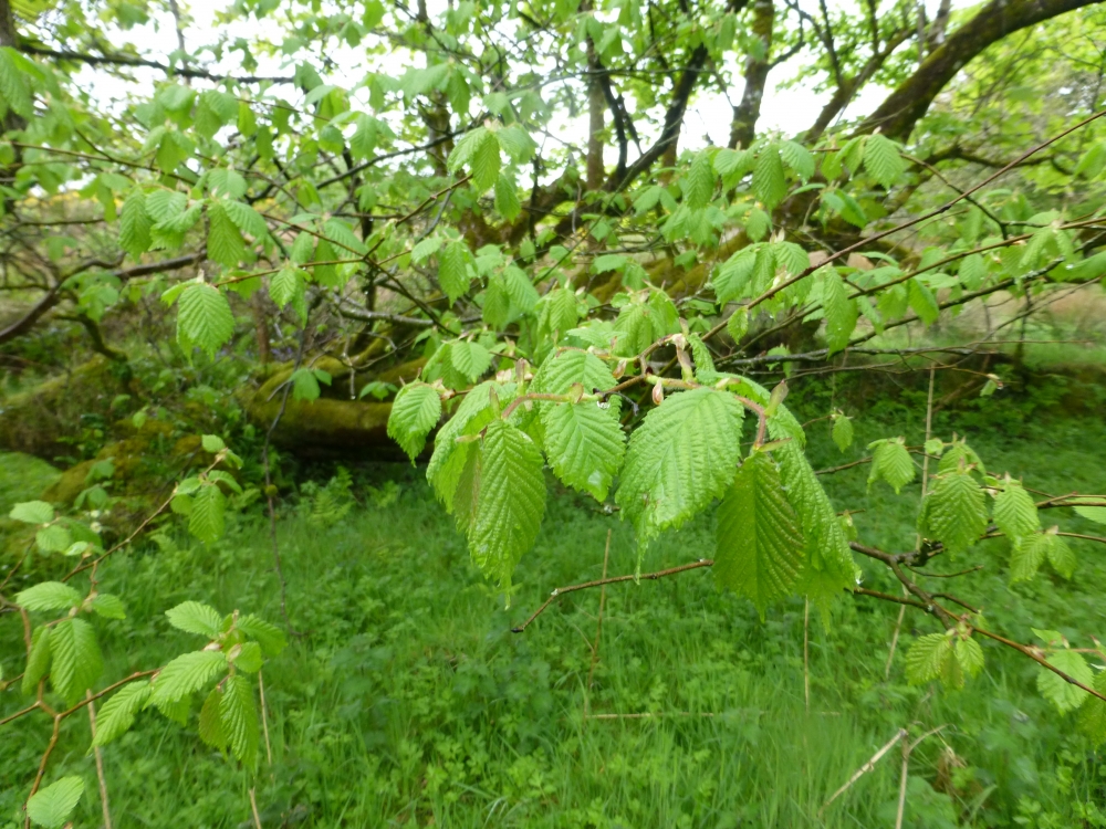
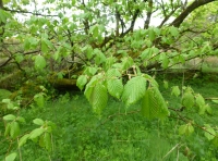
Elm leaves
-
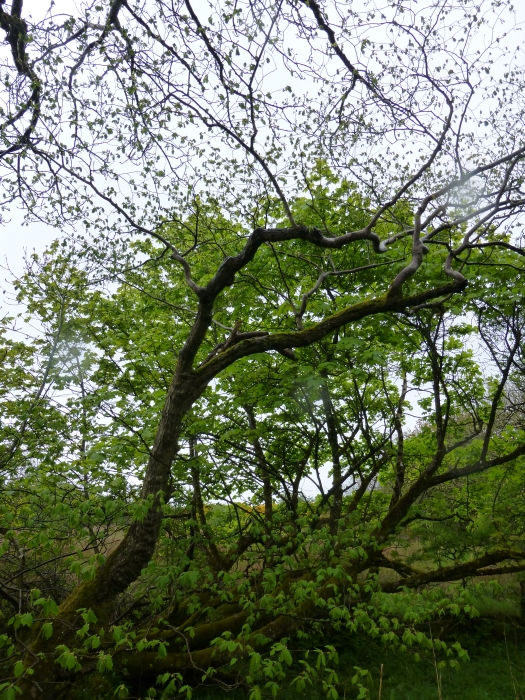
Elm
-
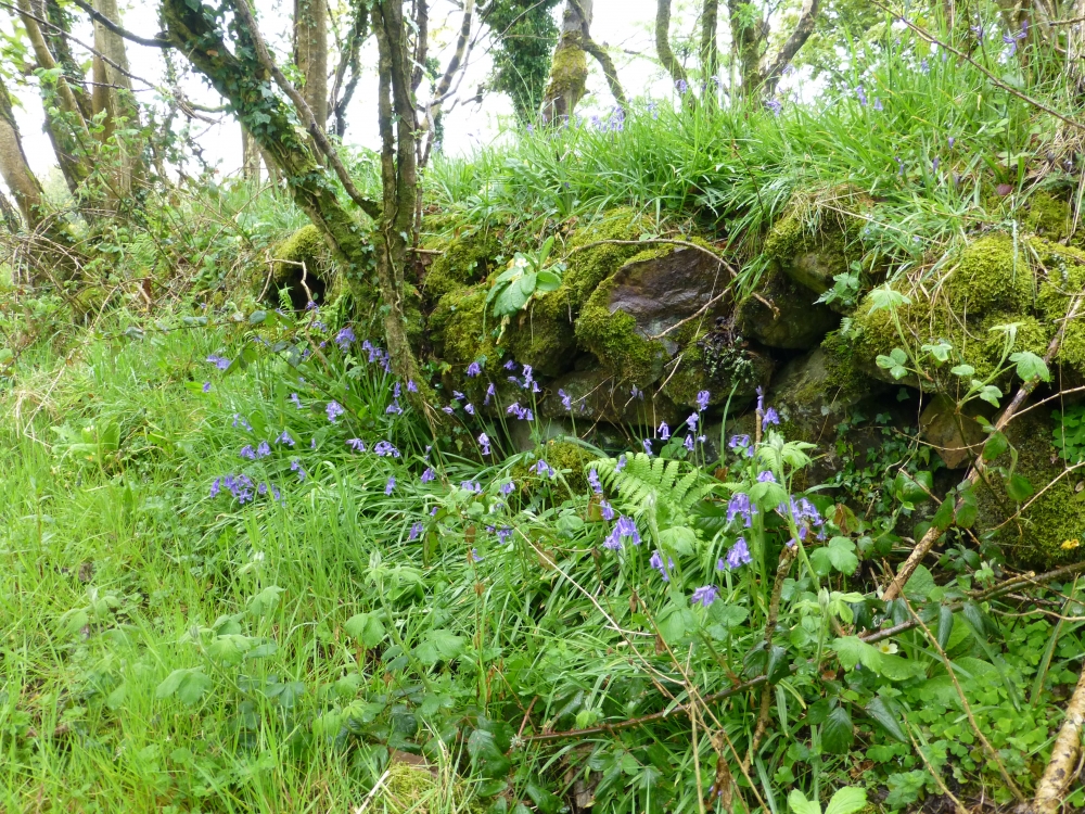
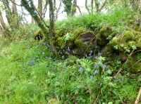
Bluebells on old stone wall
-
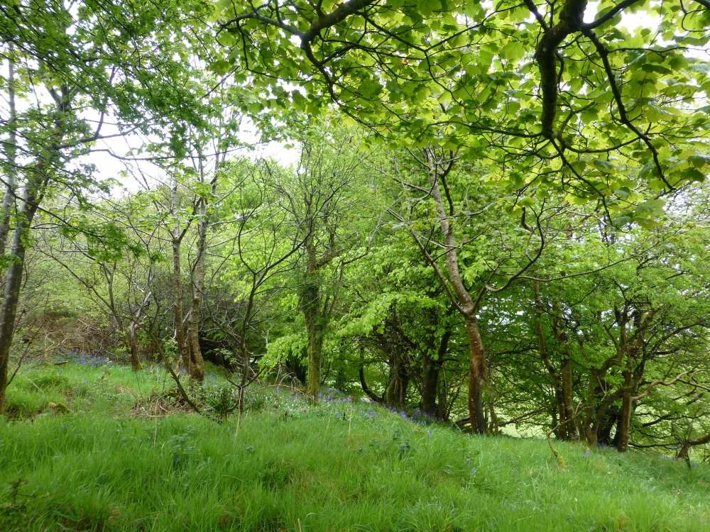
Sycamore canopy with Bluebells
-
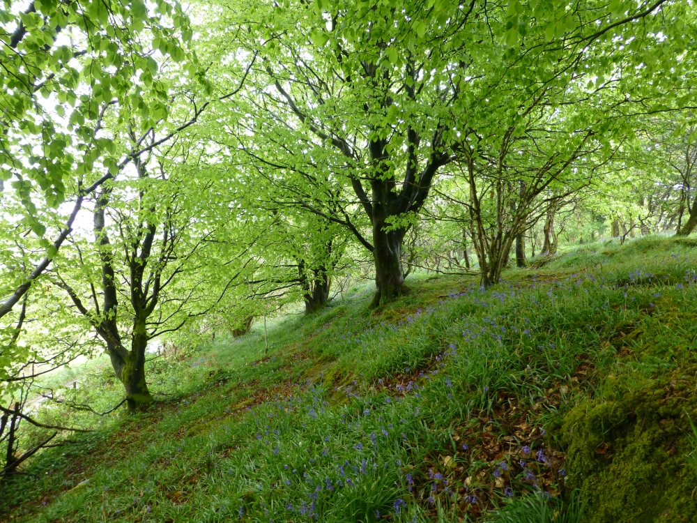
Bluebells under Beech Trees
-
Honeysuckle
-
Primroses and Red Campion
-
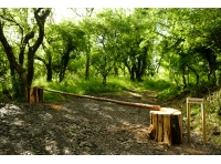
Entrance to concrete lane
-
For Sale sign
-
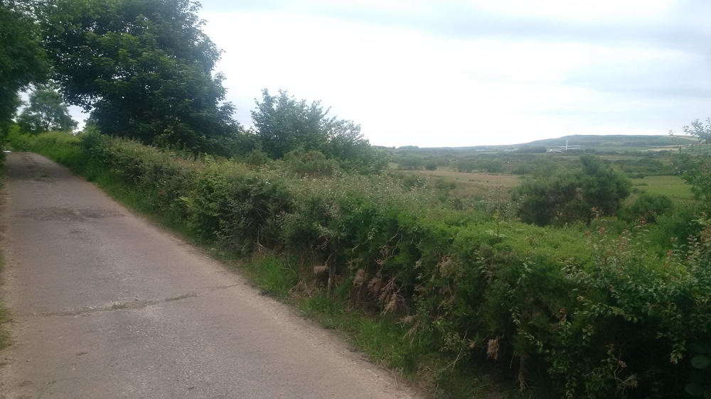
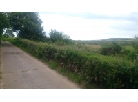
Approach to woodland along concrete lane

Description
Rockvale occupies an enviable position in close proximity to the Causeway Coast World Heritage Site with its unique landscape and long history as a visitor attraction dating back to the 19th century. More recently, the area has gained worldwide fame for the use of many of its most picturesque sites as locations for the Game of Thrones TV series. The Dark Hedges, which is 5 miles south of Rockvale, featured as the King's Road. Ballintoy Harbour, 3 miles north as the crow flies, was used for scenes at the Iron Islands.
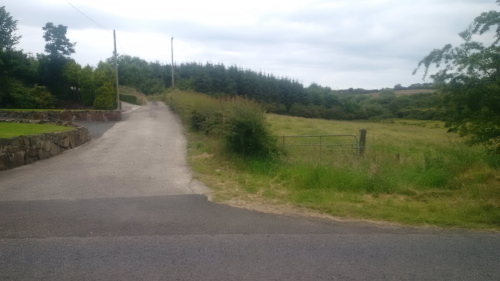
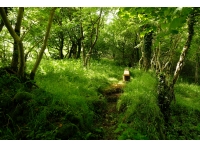
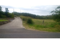
The wood lies in a secluded valley and is accessed along a dead-end lane, but is accessible, being little over an hour's drive from Belfast.
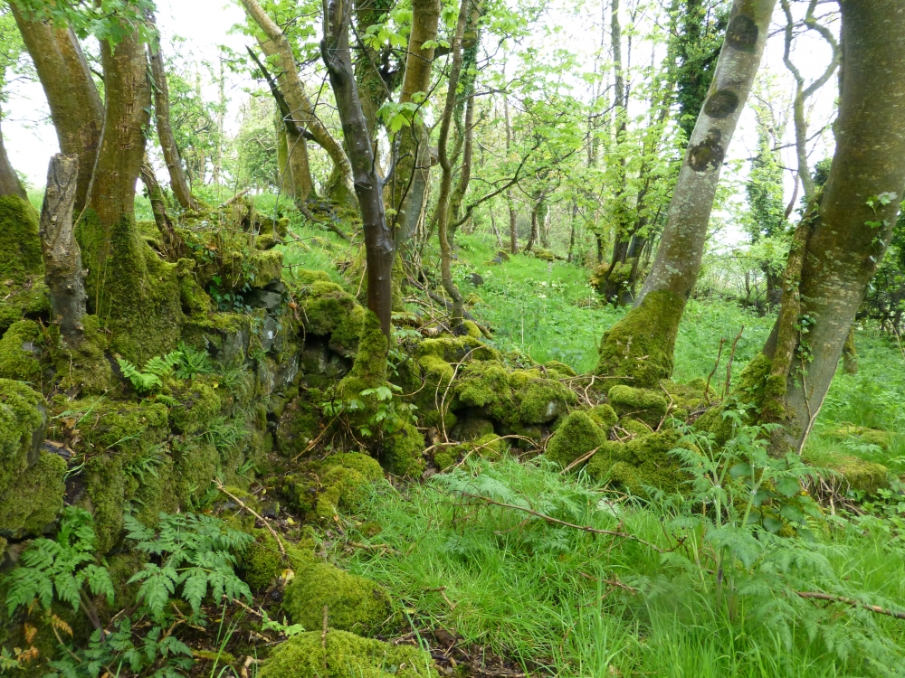
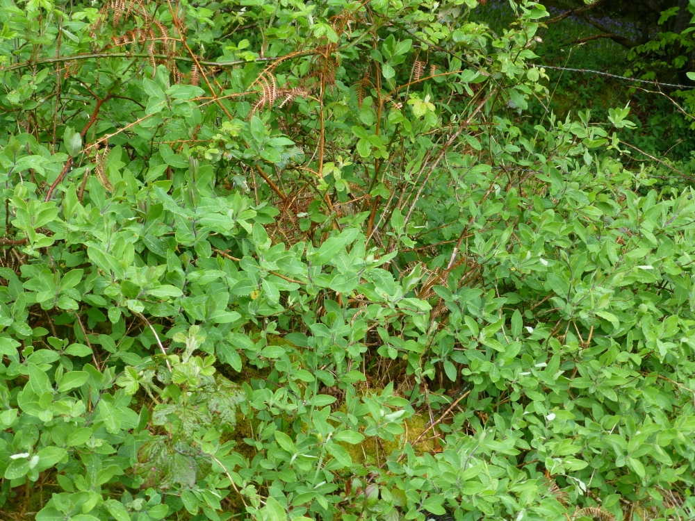
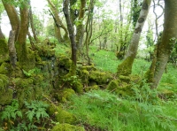
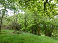
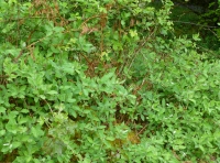
The word "Rockvale" appears on early 20th century Ordnance Survey large-scale maps, denoting the name of the farmstead on the site which now forms the core of the woodland. The buildings are long-abandoned, however, and have been reduced to a few low rubble wall remnants. Tree species such as ash, elm and sycamore have become established among the stones. Blackthorn forms an understorey, in some areas forming a dense thicket. Grazed up until recently, there are still grassy areas which would make excellent short-term campsites.
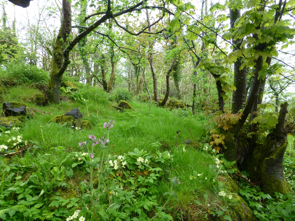
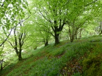
Woodland flowers including primroses, bluebells, wood anemones and wood sorrell have established themselves. Under some semi-mature, spreading beech trees just above the concrete lane there is a particularly good show of bluebells in the Spring.
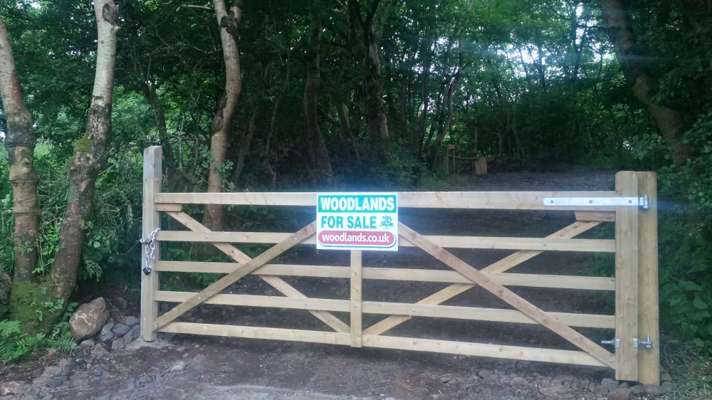
The original farm access, now secured with a new wooden gate, is used to enter the wood. You will find a ride stop at the top of the slope a few metres up from the gate, with space for parking behind. If you follow the level ground leading on from here you will find a rustic bench with an elevated view over the fields on the oppsite side of the valley and the hills beyond. Further back there is a small overgrown field which could be used as a camping area.
There are plans to extend the track to access the open land beyond the wooded area. For now you make your way on foot through the widely spaced blackthorn trees at the end of the track and to your right you will find a mosaic of small grassy areas, trees, scrub and wet heath. This variety of vegetation adds to the appeal of Rockvale as it offers a great diversity of habitats in a very small area. Indeed this area further back from the lane has been designated as part of an Area of Special Scientific Interest in recognition of its unusual mix of habitats and in particular rare flowering plants.
Rights and covenants
As is the case for all our woodlands, the purchaser will be asked to enter into a covenant which serves to protect the peace and quiet of the woodland.
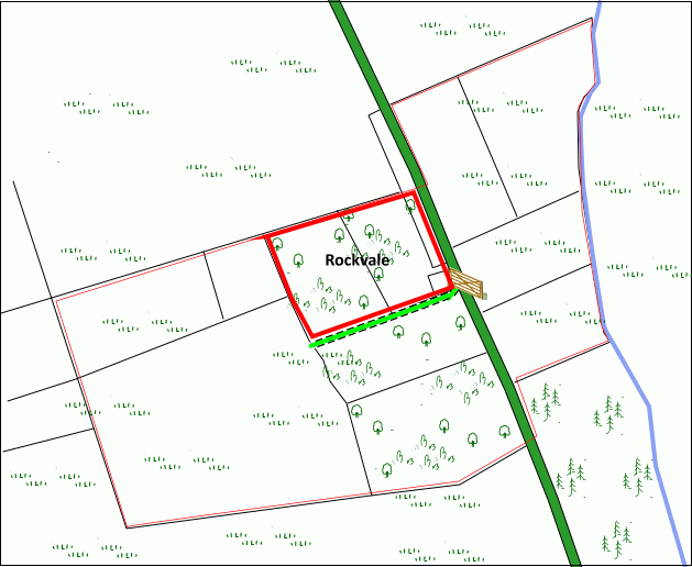
Wood maps
This wood is now sold, please do not visit the wood without the permission of the owner.
Find this wood
This wood is now sold, please do not visit the wood without the permission of the owner.
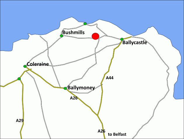
Location
- OS Landranger: OS No. 5
- Nearest post code: BT54 6NW
- GPS coordinates: 55.2025, -6.3824
Location map
Directions
Rockvale is near the north coast, about one hour's drive north of Belfast between Ballycastle 6 miles and Bushmills 6 miles.
1.Click here for Bing Maps Directions enter your own postcode, (the coordinates for the entrance gate and parking is already entered) .
2. For Satnav: the nearest postcode is BT54 6NW on Straid Road, as shown by the red dot on the maps: the coordinates are: N55.202235 W6.381207 for the entranceway.
Travelling from the west leave Bushmills on the B17 towards Ballycastle. After about 8 miles take the concrete lane on your left immediately after a red brick and stone house.
Travelling from the east leave Ballycastle on the A2 towards Bushmills and stay on this road when it becomes the B17. About 6.5 miles from Ballycastle take the concrete lane on your right immediately before a red brick and stone house.
Travelling from the south and Belfast take the M2 / A26 from Ballymena towards Coleraine, then turn right towards Ballycastle at the end of the dual carriageway onto the Drones Road. When you reach the village of Armoy turn left after the bridge then take the first right signposted for Ballintoy on the Carrowreagh Road. At the end of this road turn right onto the Ballinlea Road and proceed over the Dry Arch. After about 4 miles turn left onto the B17 Straid Road at the T-junction. The concrete lane leading to Rockvale will be found on your right after about half a mile, just before a red brick and stone house.
How we support our buyers
Membership of the small woodland owners’ group
£300 for a woodland course of your choice
One year's free membership of the royal forestry society
Please note this wood is owned by woodlands.co.uk.
Our regional managers are often out working in our woodlands, so if you email an offer and want to be sure it has been received, please phone our manager on their mobile phone. The first offer at the stated price which is accepted, whether by phone or email, has priority.
Please take care when viewing as the great outdoors can contain unexpected hazards and woodlands are no exception. You should exercise common sense and caution, such as wearing appropriate footwear and avoiding visiting during high winds.
These particulars are for guidance only and, though believed to be correct, do not form part of any contract. Woodland Investment Management Ltd hereby give notice under section 21 of the Estate Agents Act 1979 of their interest in the land being sold.
A delightful wood full of history, located close to the World Heritage Causeway Coast, the remains of the old buildings and walls of this long abandoned farmstead have been colonised by a variety of tree species and a proliferation of woodland flora.