SOLD: Malt Meadow £59,000 Freehold
- Fishpool Gate, Church Stoke, Powys / Shropshire border
- about 3 ½ acres
- Tree planting land Wales and the Welsh Marches
-
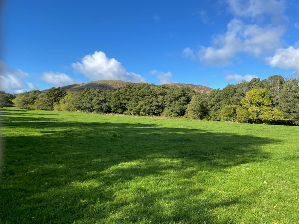
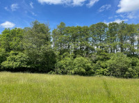
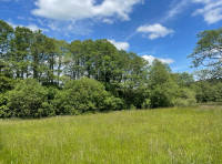
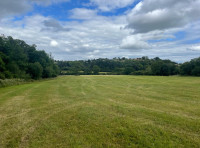
Breathtaking views looking north-west, with Corndon Hill in the distance
-
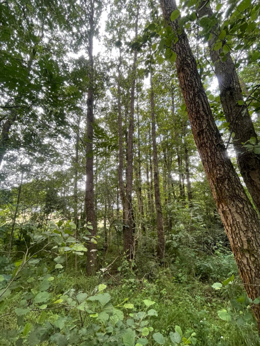
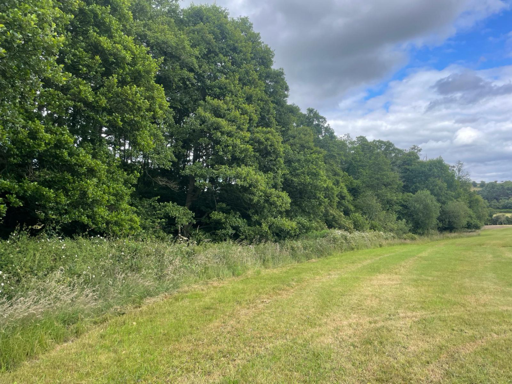
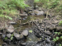
Looking north towards the woodland belt, which offers water, shelter and privacy
-
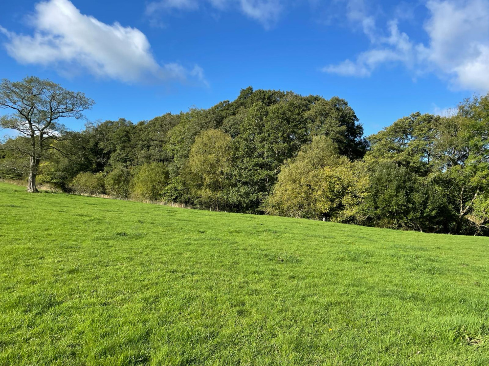
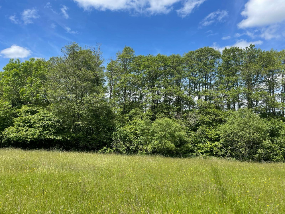
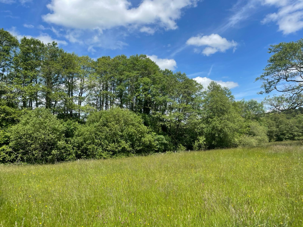
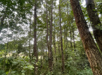
Woodland belt with mixture of established trees and shelter
-
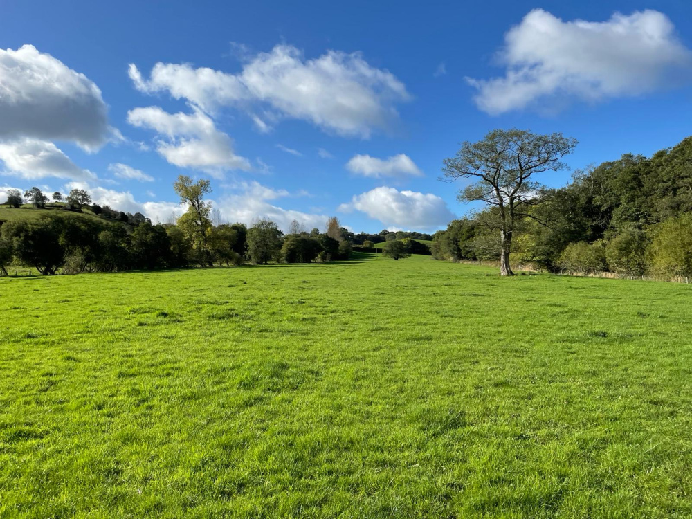
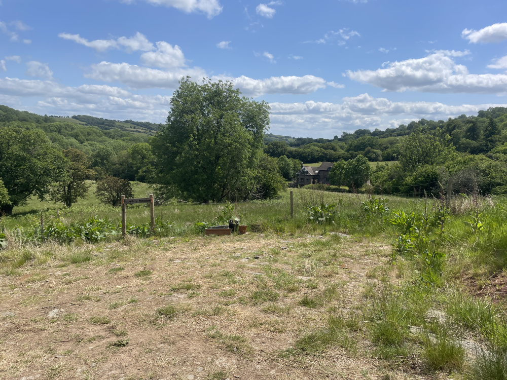
Stunning views across the meadow from the private parking area
-
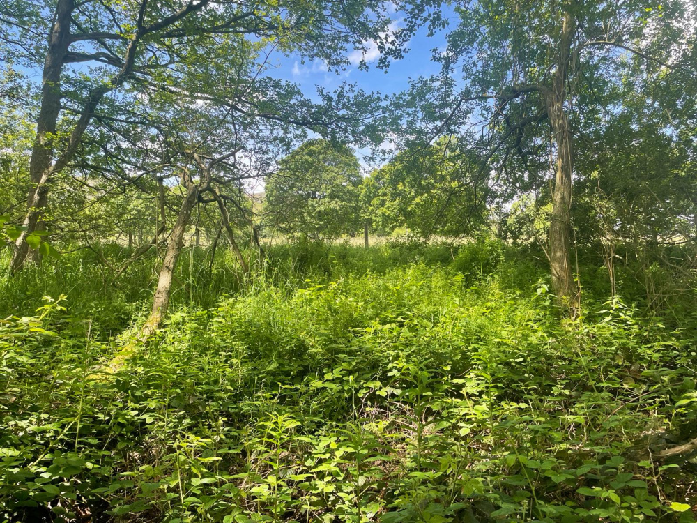
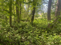
A vibrant understory in the woodland
-

An abundance of wild plants growing under the protection of the trees
-
Plenty of shelter from the sun on those hot sunny days
-
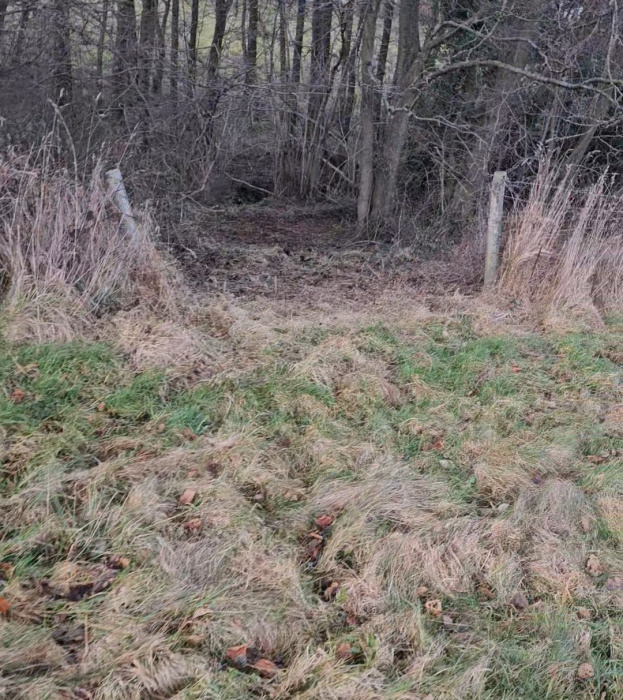
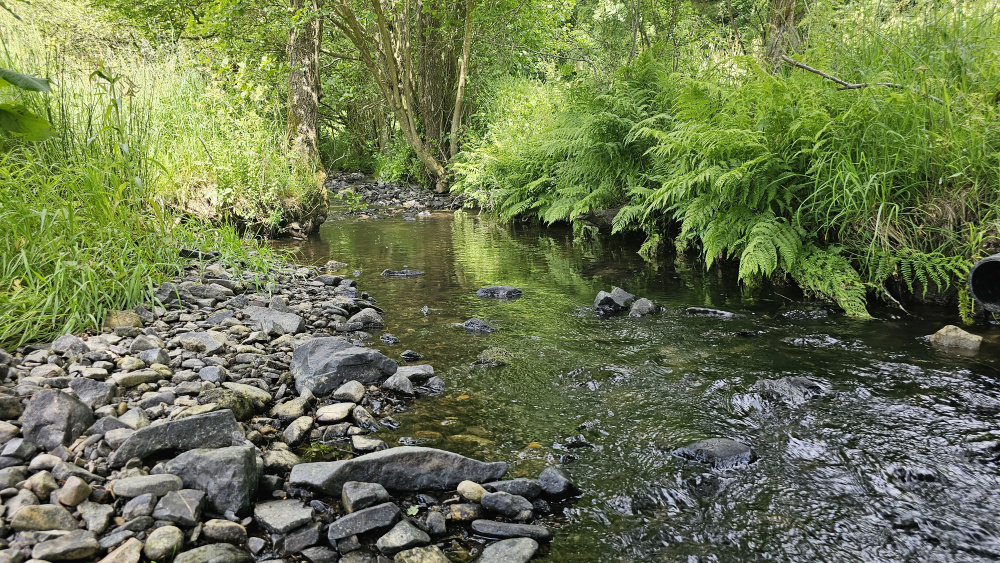
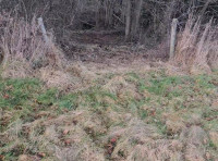
Small cutting through the stock fencing, leading into secluded woodland and brook
-
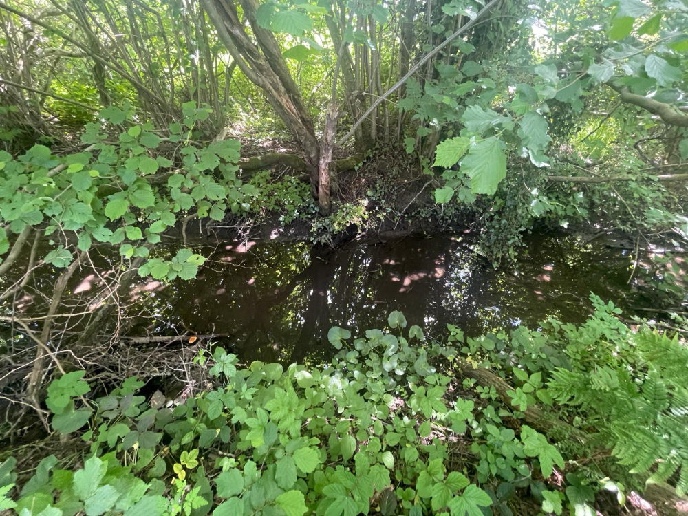
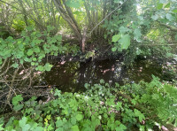
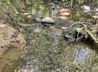
Brook which feeds into the River West Onny
-
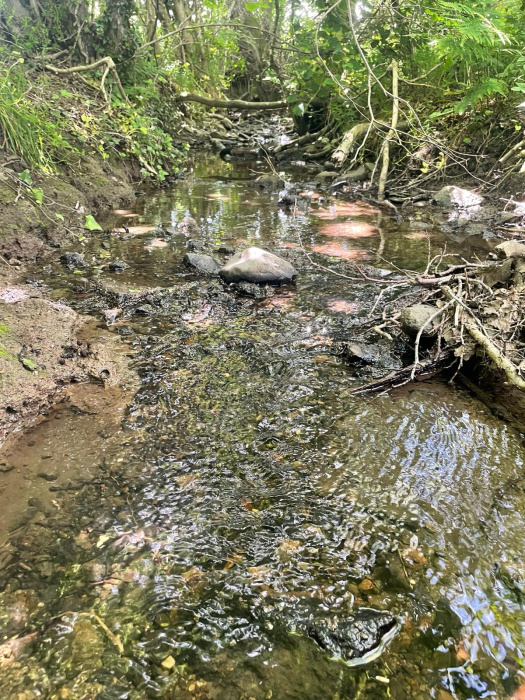
Crystal clear water flowing through the brook
-
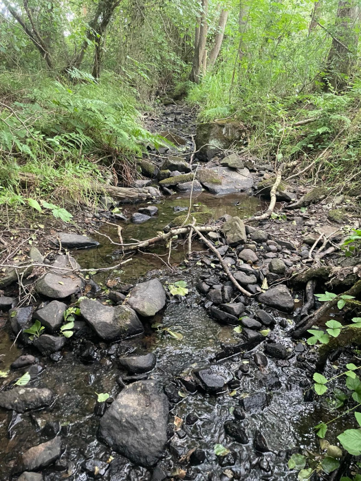
A natural water source is valuable resource in any woodland or meadow
-
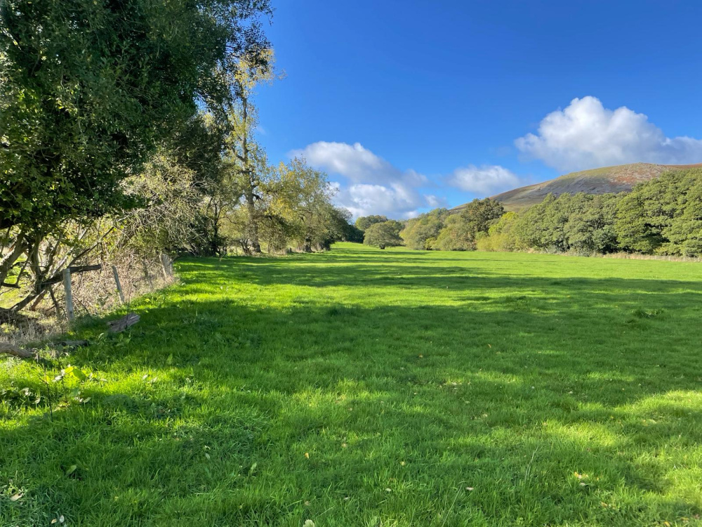
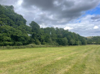
South boundary in the distance combined with stock fencing and mature boundary trees
-
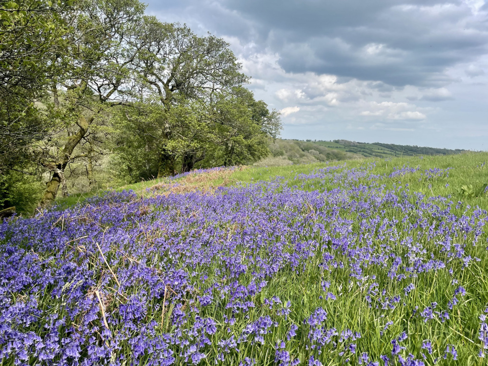
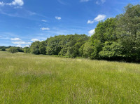
Views north prior to the long meadow grass being cut for hay
-
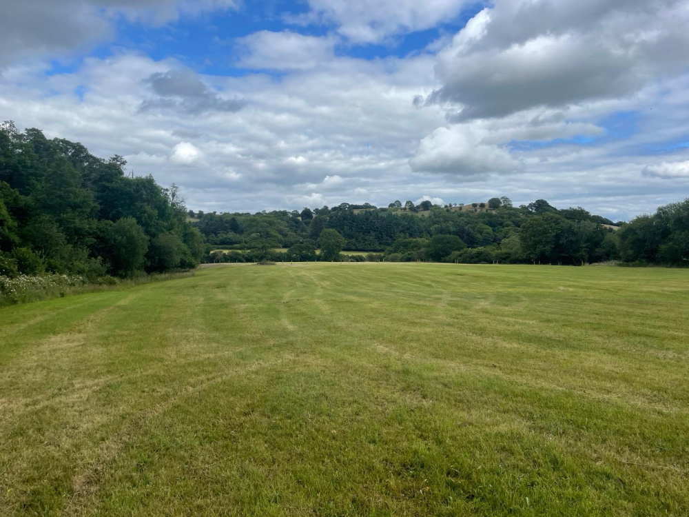
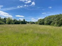
Looking across to the east corner of the meadow
-

Another view of the long meadow grass towards the west from the private parking
-
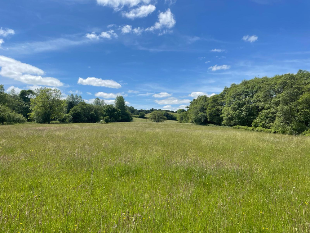
Long grass and flowers across the meadow in the summer months
-
Looking east along the woodland shaw. The meadow has been recently cut for hay.
-

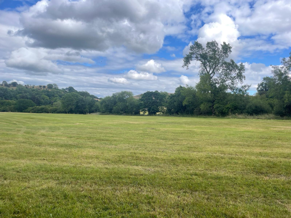
View to the east looking down towards the private parking area for Malt meadow
-
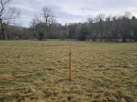
Looking towards the eastern boundary markers and private parking next to the lone tree
-
Looking towards the south boundary from the north west corner
-
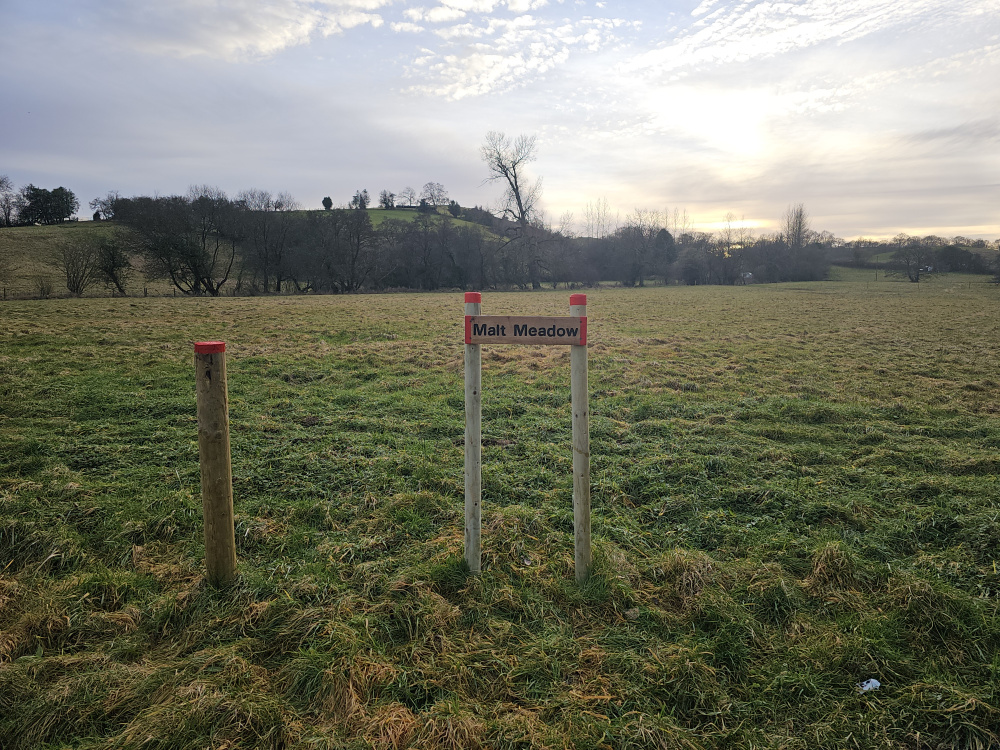
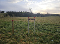
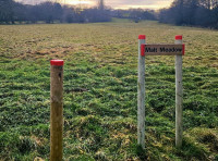
Safe parking here for viewing at the access gate
-
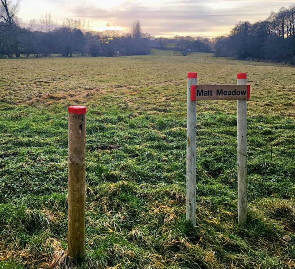
Name plate and colour coding
-
Looking south along the western boundary features with the red painted posts


Description
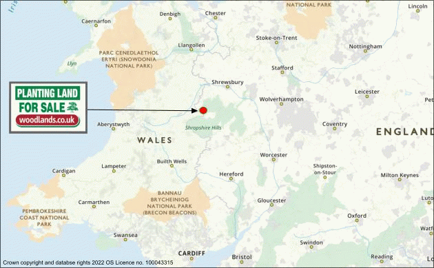
Malt Meadow is located on the border between England and Wales and is gifted with outstanding views of the Shropshire hills. The local landmark Corndon Hill offers a dramatic backdrop to the land, with its summit 1,683 ft above sea level, it forms part of a famous run of hills which rise up along the border in The Welsh Marches. The village of Church Stoke and town of Montomgery are only a stone’s throw away on the Welsh side to the west, with Church Stretton and Craven Arms nearby in Shropshire to the east.
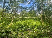
This is a desirable meadow containing a balanced mix of open land and standing trees along with an enchanting fringe of woodland, occupying the northern section. A freshwater brook can be found hidden amongst this area of woodland which runs the entire length of Malt Meadow, where it eventually meets with the River West Onny. Access to a natural water source like this is a valuable resource and important for supporting wildlife.
The wooded area is a rich and dynamic habitat containing an assortment of broadleaved trees and shrubs and is surrounded by stock proof fencing for that added security and protection. As you head along the northern edge of the meadow, the woodland presents a wall of green in the summer, offering shade along the fringe on those hot summer days.
A small opening in the stock fencing invites you into a woodland path and leads you down to the magical and gently flowing brook. Dappled sunlight and well-spaced trees create an enjoyable woodland scene and if you sit quietly for a while, you may notice that the area is awash with a variety of sounds and wildlife.
In addition to being a lovely amenity space and natural source of firewood, the woodland will act as a powerful seed source for the natural regeneration of the open land. With seeds blowing in, or carried by animals, the open land will begin to be colonised by various species, extending the boundaries of the woodland ecosystem. The establishment of woodland can be accelerated through active tree planting, for which a number of grants may be readily available.
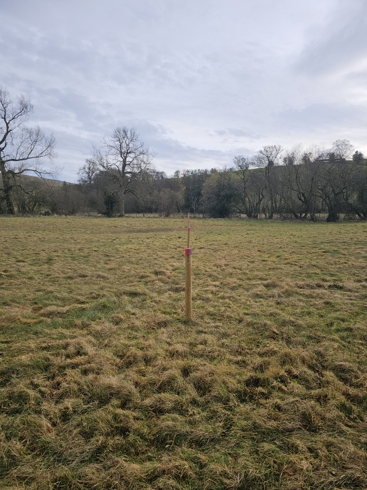
Both the east and west boundaries are demarcated by red colour coded field stakes, whereas the north and south boundaries consist of stock proof fencing. Mature trees can be seen dotted along the southern boundary fence, offering privacy and shelter.
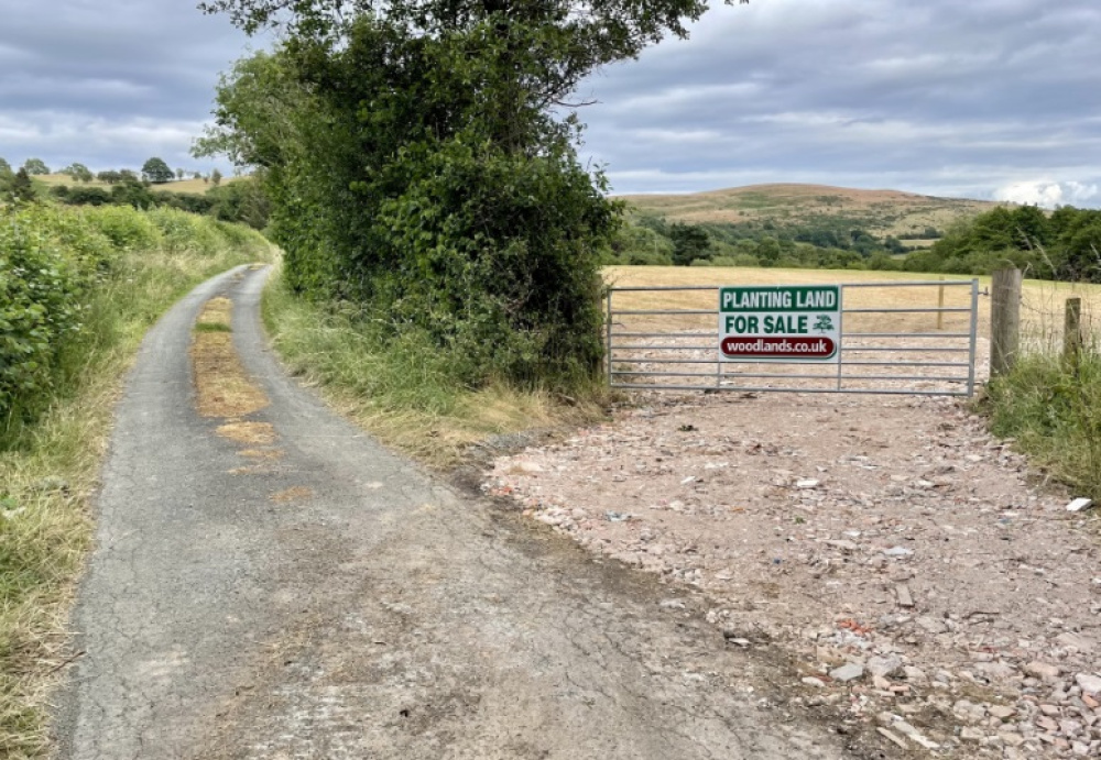
The land is accessed via a stone track directly from the public highway through a shared padlocked gate and provides all year-round vehicular access. As you follow the internal track up towards the meadow and over the freshwater brook, you will meet an area of hardstanding ground on the right-hand side of the track. This is Malt Meadow’s own private parking area and is also marked with the red painted features along with the meadow’s name plate. From there, the meadow is level and is almost square in shape apart from a slight incline which becomes visible as you drive up the track from the main entrance. The meadow comes with a freehold title and there are no public rights of way across it.
Malt Meadow offers a fantastic opportunity for woodland creation alongside existing natural woodland and may be of interest to anyone looking to own a parcel of land in a private and secluded area. It would also make a great opportunity for a family woodland, for those wishing to leave a lasting legacy for future generations to enjoy.
Features
- Private and secluded location
- Fantastic views of the Shropshire Hills
- Natural water source within secluded woodland
- A mix of open meadow and a belt of woodland
Access, tracks and footpaths
The meadow is accessed via a hardcore stoned track which runs from the public highway. The land comes with freehold title and there are no public rights of way across it.
Rights and covenants
As is the case for all our meadows, the purchaser will be asked to enter into a covenant which serves to protect the peace and quiet of the meadow.
Local area and history
The meadow lies on the western edge of the Shropshire Hills right on the border between England and Wales, with the River West Onny forming the boundary.
Corndon Hill is a significant local landmark and with a summit of over 510m it forms a breath-taking backdrop to the local area.
There is a large bronze age cairn at the summit where far reaching views can be enjoyed of The Cambrian Mountains, Stiperstones and The Long Mynd.
Wood maps
This wood is now sold, please do not visit the wood without the permission of the owner.
Find this wood
This wood is now sold, please do not visit the wood without the permission of the owner.
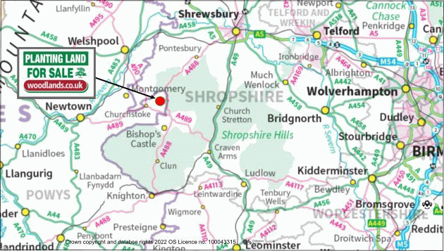
Location
- OS Landranger: OS No. 137
- Grid ref: SO 321 959
- Nearest post code: SY5 0JN
- GPS coordinates: 52.5587, -3.00141
Location map
Directions
In terms of finding the meadow, when heading north out of the village of Hyssington, go past the small carpark and swings on your left hand side and follow the road for about 1 3/4 miles, going past Fishpool Farm and Fishpool Gate, before taking a right hand turn which is signposted as unsuitable for HGV's. It is the third turning on the right. Once you have turned right, the entrance to the site is 250m down on your right hand side, signposted with a "Woodlands" sign on the gate.
The land can also be accessed via the A488 via a small left hand turn when heading north, in between Runnis Meadow Camping (on Google Maps) and the village of White Grit, again signposted as unsuitable for HGV's. Please note this turning drops away fairly steeply and has a steep ditch on its right hand side. The main gate is circa 500m down on the left hand side.
Once at the main gate, park in the little pull-in off the road, carefully climb the gate and follow the access track through the first field, at which point you will come across a small brook. Once you walk over that brook, Malt Meadow begins on the right hand side of the track which is identified by red paint markings on the wooden boundary posts.
Click here for the Google Maps Main Gate Location, enter your own postcode (the location coordinates are already entered) and click on the "Directions" box. This will take you to the roadside gate where you can park.
Satnav: the postcode SY5 0JN is the nearest to the main entrance where you can park but will take you slightly to the north of where you need to be.
Coordinates for satnav are: 52.558666, -3.001408 for the main entrance.
What3Words Reference: ///solar.brambles.held
How we support our buyers
Membership of the small woodland owners’ group
EITHER £300 for a woodland course of your choice
OR £300 contribution towards buying trees, tree shelters or stakes
One year's free membership of the royal forestry society
Please note this wood is owned by woodlands.co.uk.
Our regional managers are often out working in our woodlands, so if you email an offer and want to be sure it has been received, please phone our manager on their mobile phone. The first offer at the stated price which is accepted, whether by phone or email, has priority.
Please take care when viewing as the great outdoors can contain unexpected hazards and woodlands are no exception. You should exercise common sense and caution, such as wearing appropriate footwear and avoiding visiting during high winds.
These particulars are for guidance only and, though believed to be correct, do not form part of any contract. Woodland Investment Management Ltd hereby give notice under section 21 of the Estate Agents Act 1979 of their interest in the land being sold.
A tranquil meadow which includes a belt of broadleaved woodland and a babbling brook. Located right on the England / Wales border with views towards the Shopshire hills.