SOLD: Range Wood £75,000 Freehold
- Castlehill, Tunbridge Wells, Kent
- about 4⅓ acres
- South East England
-
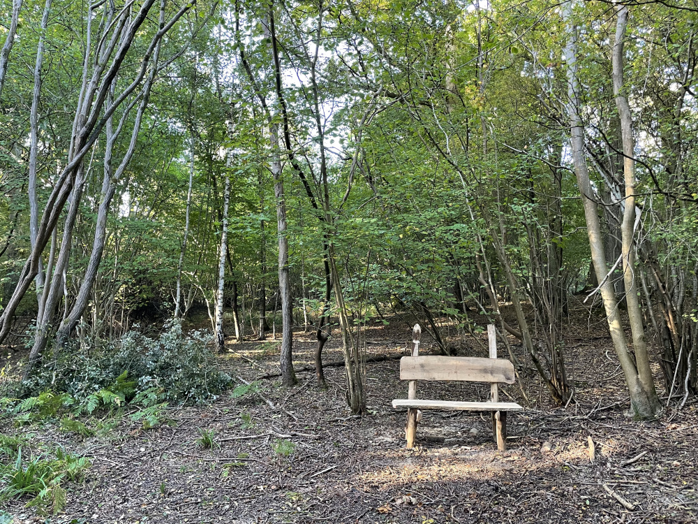
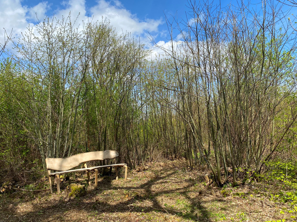
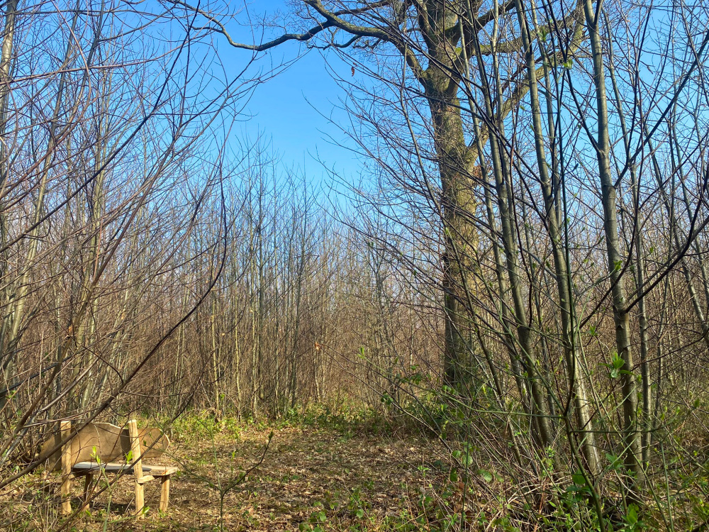
bench
-

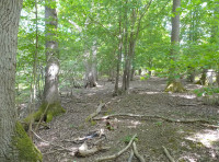
mature oak
-
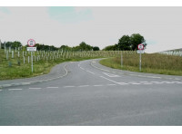
old Penbury Road
-
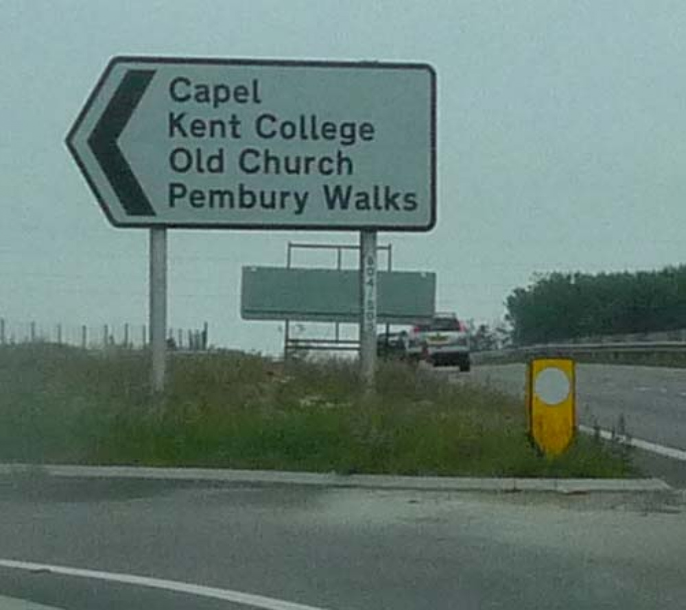
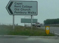
roadsign
-
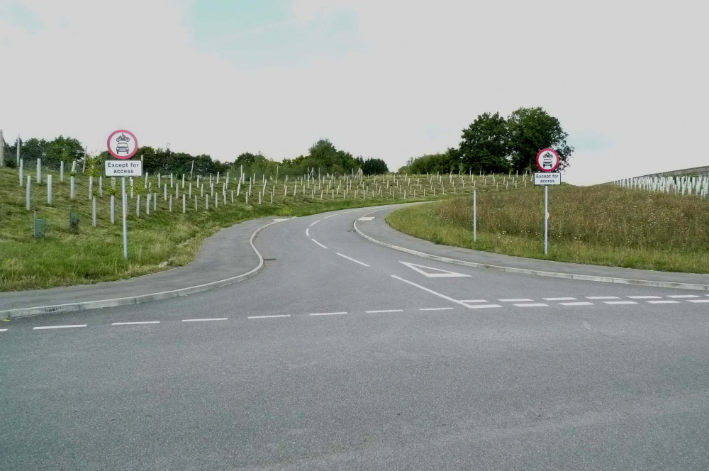
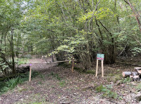
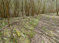
ridestop entrance
-
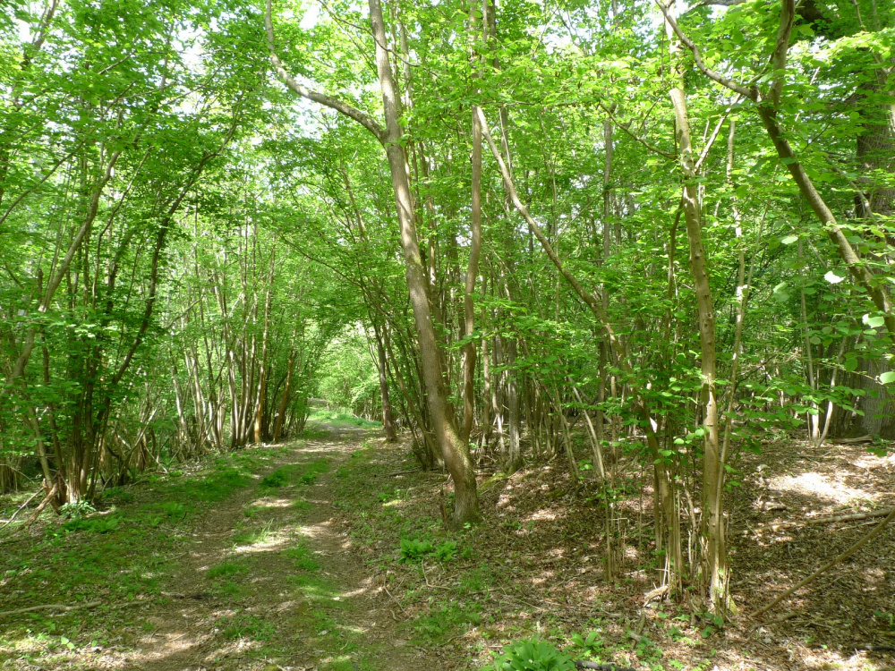
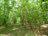
Range Wood on the right side of the access track
-
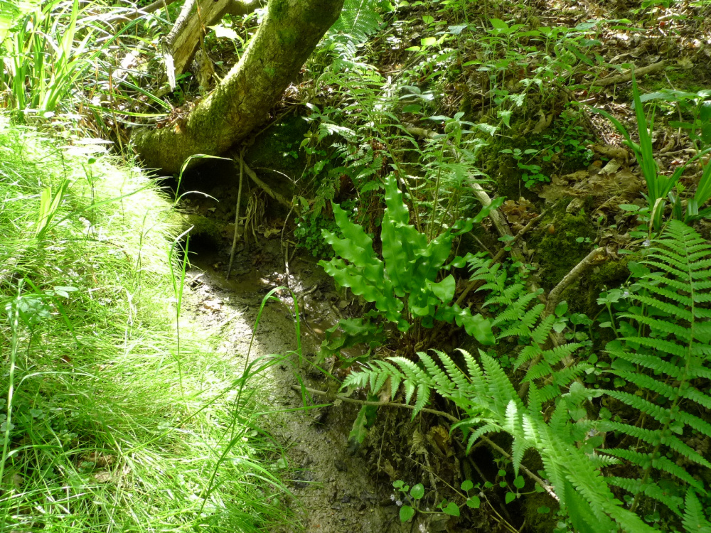
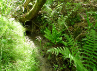
hart's tongue fern
-
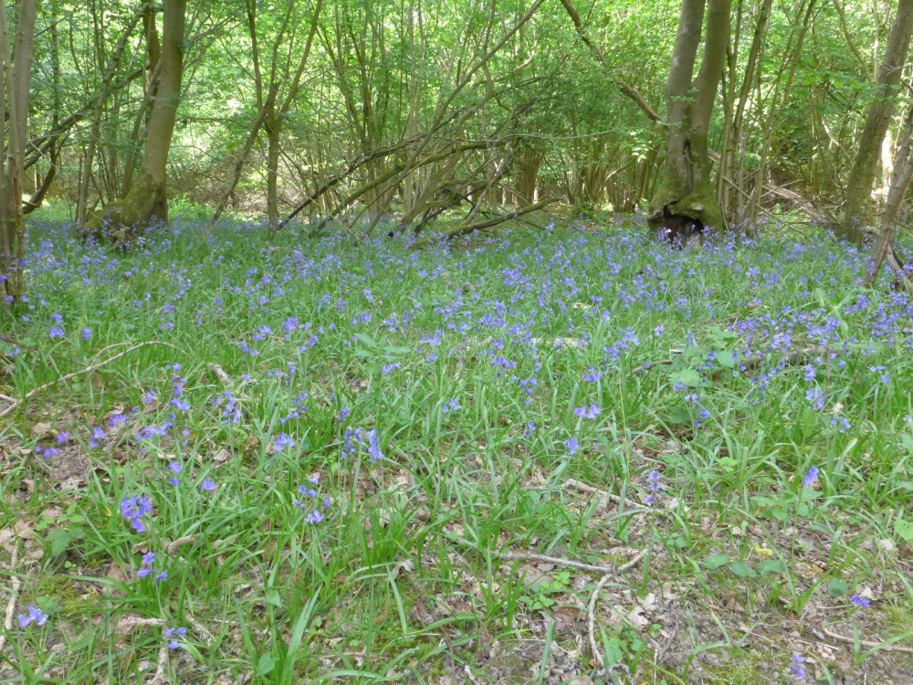
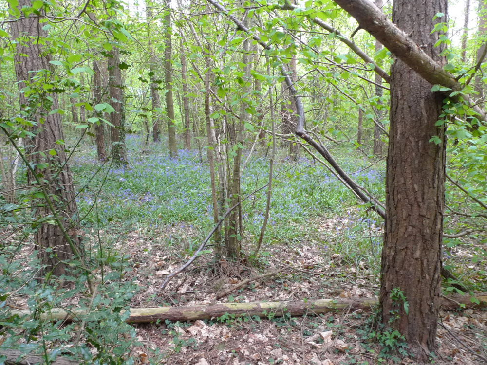
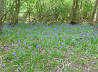
bluebells
-
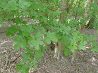
hazel
-
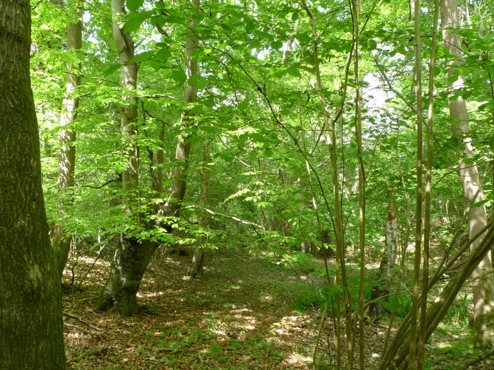
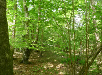
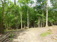
open ground beneath large oaks
-
primroses
-
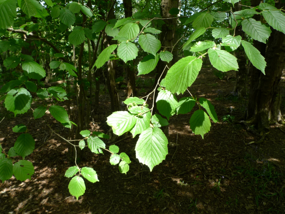
hazel
-

field maple
-
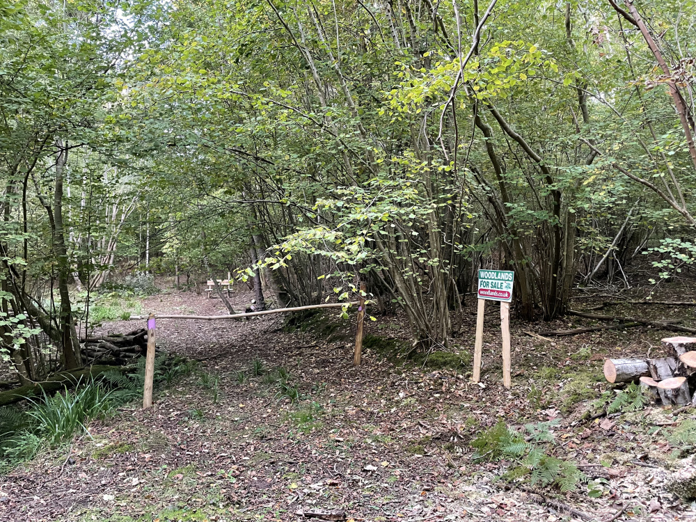
track to Range Wood
-
orchids
-
bluebells
-
forest floor
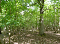

Description
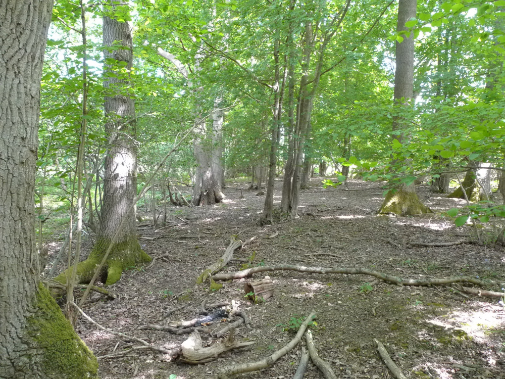
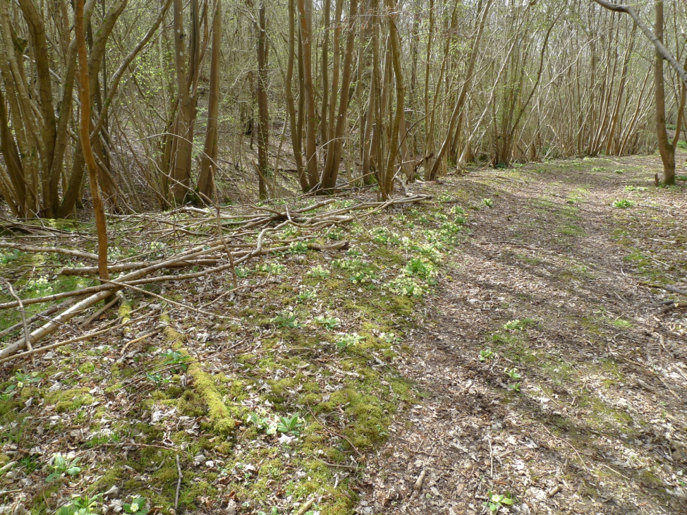
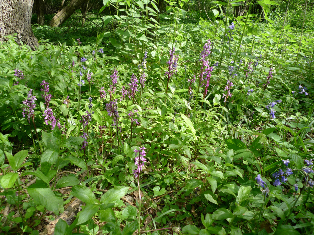
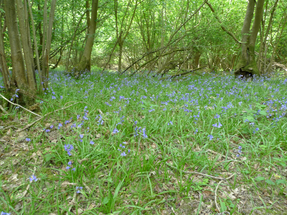
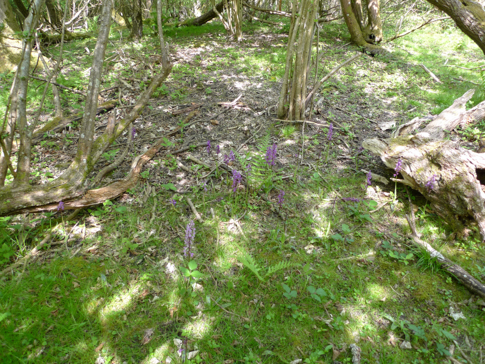
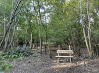
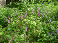
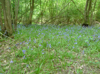
Entry is made to the 'front' section of the wood through a ride-stop near the south west corner. Here there is a large open area with a bench which overlooks the seasonal stream. The stream has many ferns, including hart's tongue, and other ferns along with lots of mosses and bryophytes, with primroses nearby. The land rises up from here with patches of orchids and other areas filled with bluebells. Towards the 'rear' of the wood there is an area of dense blackthorn which is favoured by the deer for the privacy it affords.
Trees
Big oaks along with ash, sycamore, silver birch, willow and hazel. Some hawthorn and blackthorn which is dense in places, especially on the northern boundary. Ancient field maple is also present.
Wildlife
A small herd of deer wander through the woods, buzzards wheel overhead, small birds hop through the trees, and wildflowers including abundant primroses. Bluebells and orchids adorn the woodland floor in spring.
Features
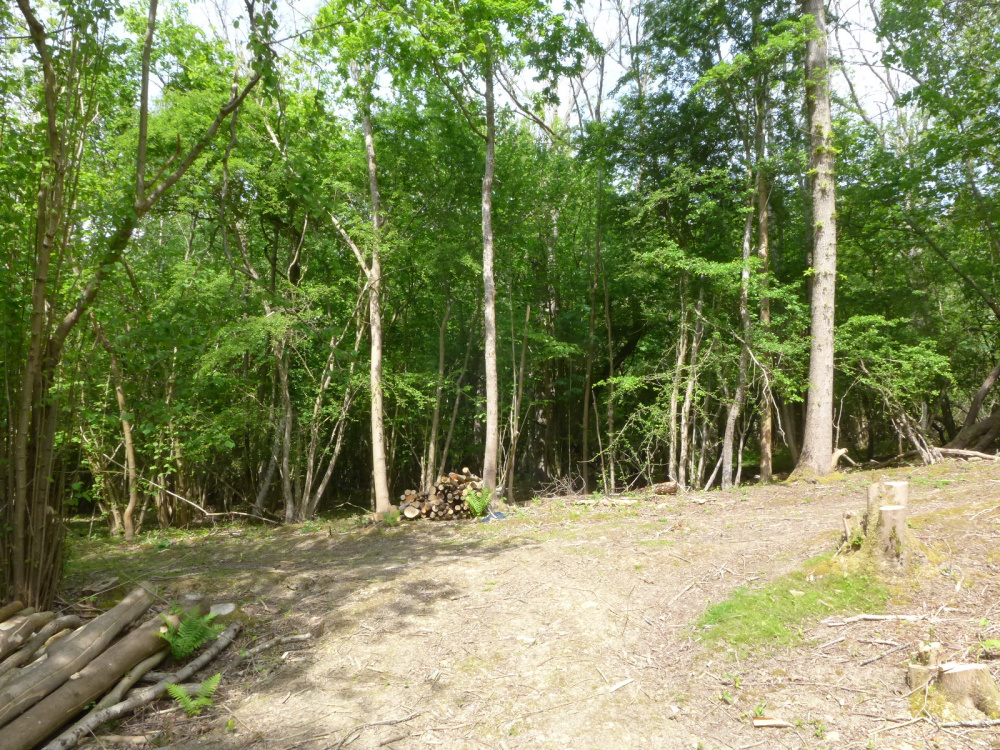
Although somewhat overgrown now the outline of an old firing range can be seen which goes back to at least the Boer War, with some parts being used during WWII. The butts/targets are in other parts of the surrounding woodland. Firing into the hillside was the safest option!
Access, tracks and footpaths
Access is from the old A21, now a bridleway and private road and then via a forest track, a picturesque approach to the wood. A new owner will have keys (or combination numbers) to the gates enabling their vehicles to access the wood all year round. There are no public rights of way in or near the wood. There are private rights of way along the green tracks shown in the plans.
Rights and covenants
The purchasers of the woodland will be asked to enter into a covenant to ensure the quiet and peaceful enjoyment of adjoining woodlands and meadows. A water main touches the south and east sides of the woodland, and there are access rights for the houses supplied by this main, to replace or repair the pipe.
Activities
A perfect place for pottering, collecting a bit of firewood, stacking brash for habitat piles, felling the odd ash tree, relaxing and enjoying nature.
Local area and history
There is evidence of Iron Age activity with the Hill Fort further over to the east. When this was abandoned is difficult to guess, perhaps by 100 BC. It is thought that sites like these were not settled but used as temporary stop-offs by populations from larger sites.This area seems to be the boundary of two tribes, the Regnenses and the Cantiaci.
The land falls within the local Capel Parish Council, itself a part of Tunbridge Wells Borough Council, Kent.
Wood maps
This wood is now sold, please do not visit the wood without the permission of the owner.
Find this wood
This wood is now sold, please do not visit the wood without the permission of the owner.
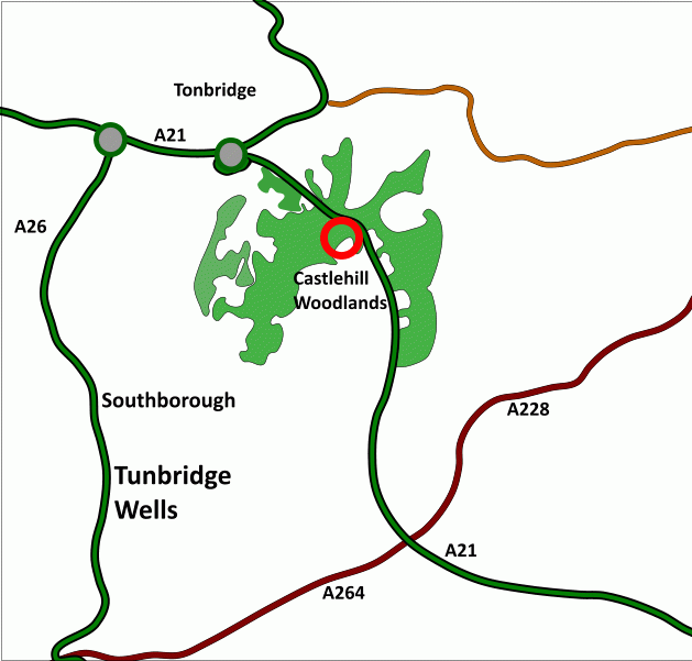
Location
- OS Landranger: OS No. 188
- Grid ref: TQ 603 442
- Nearest post code: TN11 0QG
- GPS coordinates: 51.1747, 0.292478
Location map
Directions
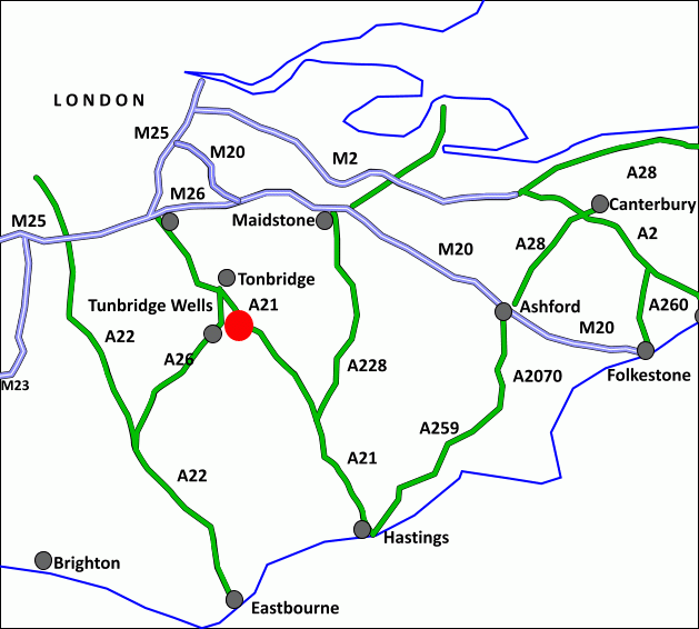
Range Wood, at Castlehill, is about 4 miles north of Tunbridge Wells centre and about 3 miles southwest of Tonbridge.
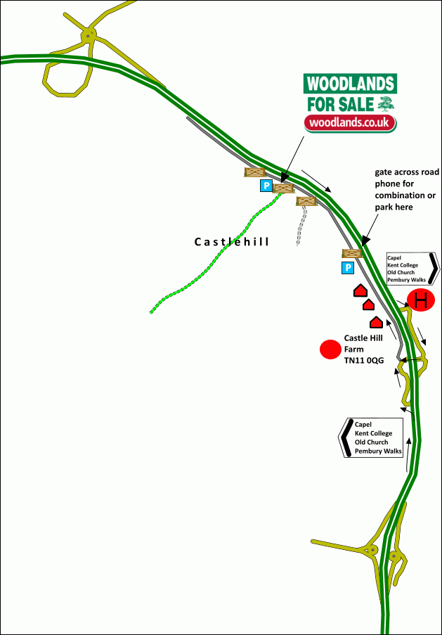
1. Click here for Bing Maps Directions enter your own postcode and click on the "Go" box.This will take you to the access off old Pembury Road.
It is shown here on OS national grid; for the entrance and parking while viewing CLICK HERE
2. For Satnav: the nearest postcode is TN11 0QG for Castlehill Farm and coordinates are 51.174517, 0.297109
3. If heading south then take the exit off the A21 signed
"Capel,Kent College,Old Church,Pembury Walks"
- follow the road and then turn right under the dual carriageway
- on emerging go right, signed Castlehill
If heading north on the A21 then take the exit signed as above
"Capel,Kent College,Old Church,Pembury Walks"
- take left turn (do not go under bridge)
then for both entries
- pass cottages on the left and arrive at the metal gate. This is normally locked but please phone 07811 818277 for the combination number. If not, park near here and continue on foot.
- by car continue, pass a second metal gate on the left until seeing the third metal gate, on the left, it has a 'For Sale' sign by it. Park to one side
- hop over the gate.
- walk down the track, take the right fork, then take the right track continuing downhill.
- Range Wood is ahead with its entrance down to the left and on the right hand side. There is a name plate and a For Sale sign here.
How we support our buyers
Membership of the small woodland owners’ group
£300 for a woodland course of your choice
One year's free membership of the royal forestry society
Please note this wood is owned by woodlands.co.uk.
Our regional managers are often out working in our woodlands, so if you email an offer and want to be sure it has been received, please phone our manager on their mobile phone. The first offer at the stated price which is accepted, whether by phone or email, has priority.
Please take care when viewing as the great outdoors can contain unexpected hazards and woodlands are no exception. You should exercise common sense and caution, such as wearing appropriate footwear and avoiding visiting during high winds.
These particulars are for guidance only and, though believed to be correct, do not form part of any contract. Woodland Investment Management Ltd hereby give notice under section 21 of the Estate Agents Act 1979 of their interest in the land being sold.
A delightful mature bluebell woodland on a sloping site with a short stream at one edge.