SOLD: Ritton Copse £59,000 Freehold
- The Bog, Minsterley, Shropshire
- just over 4 acres
- The Welsh Marches
-
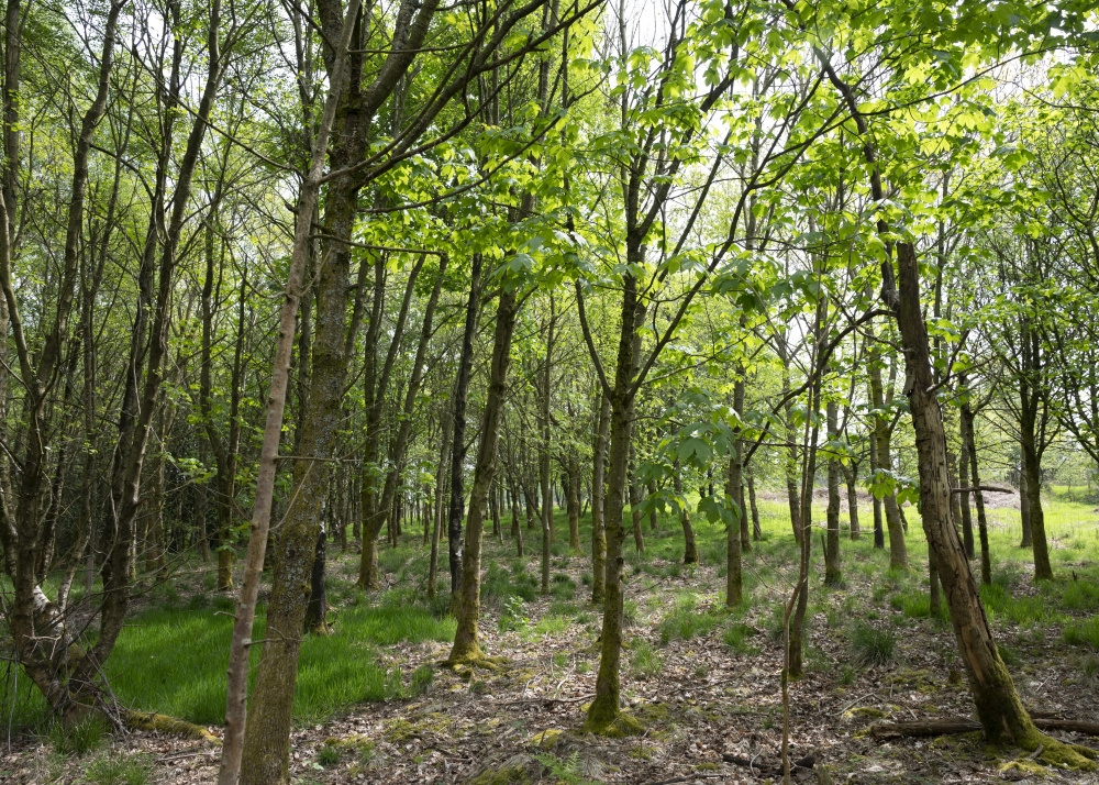
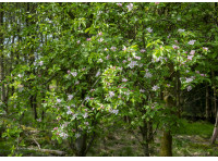
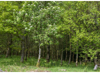
Summertime, and the wood is full of life
-

Cherry tree in full bloom
-
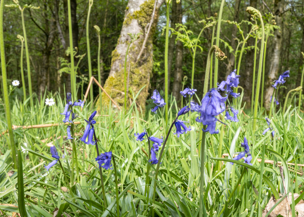
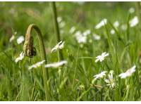
Bluebells on the woodland floor
-
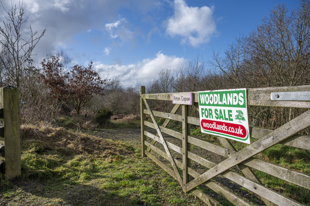
Welcome to Ritton Copse
-
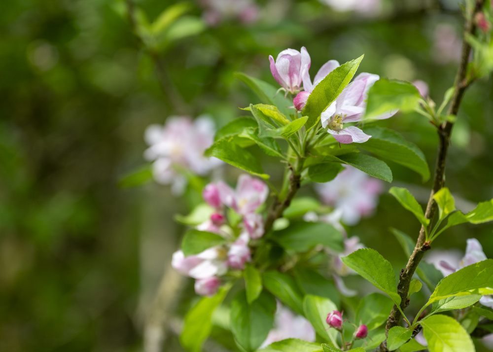
Cherry blossom
-
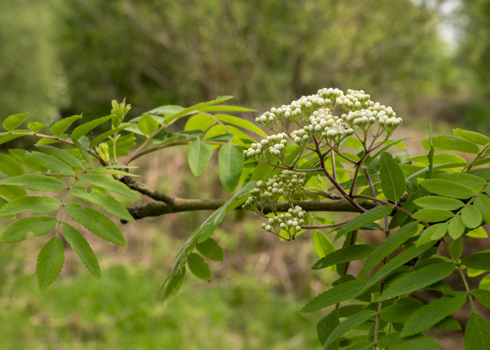
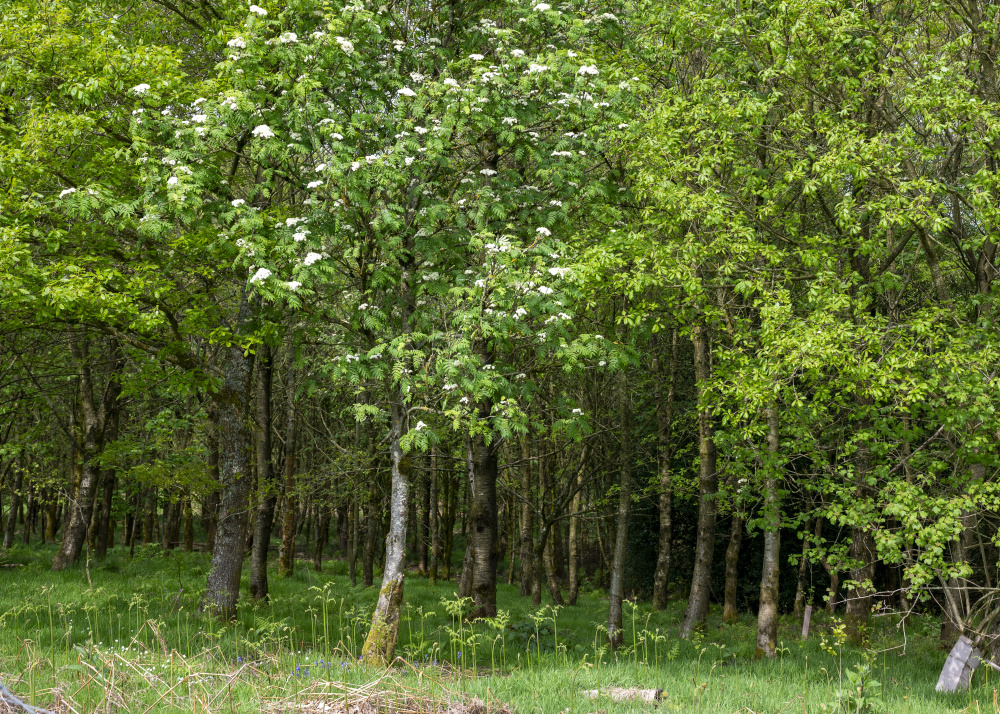
Rowan blossom
-
Abundant life in the woodland
-
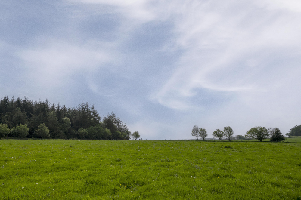
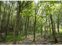
Summer is here, the canopy provides gentle shade from the sun
-
Tree blossom
-
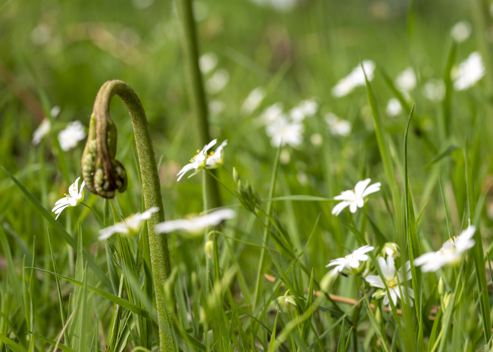
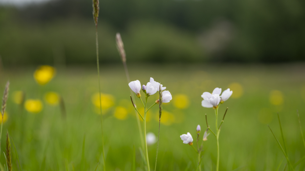
Rabelera and wildflowers on the woodland floor
-
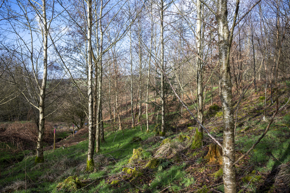
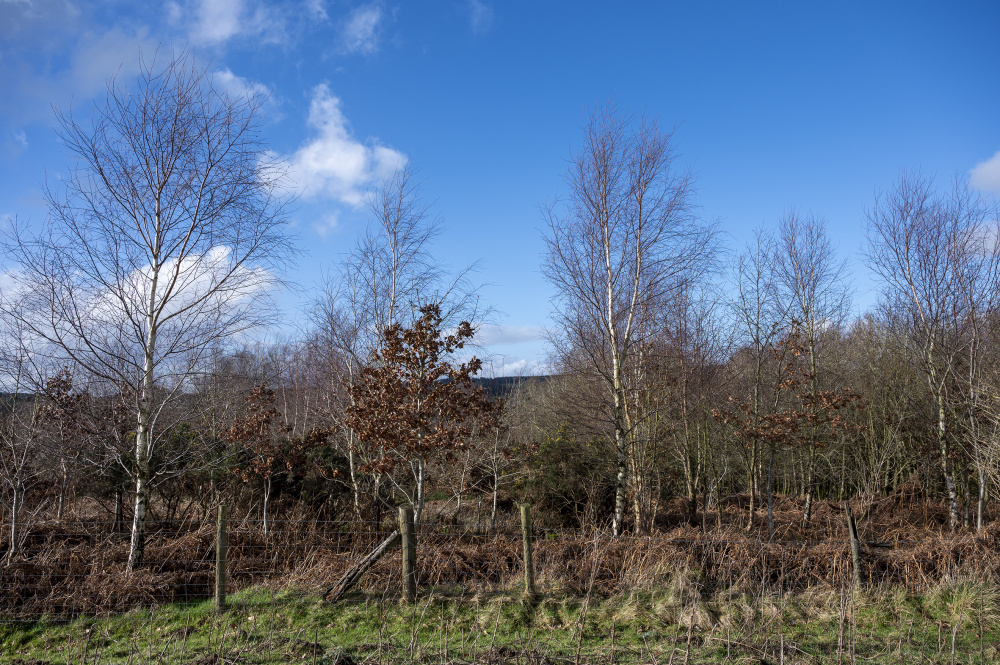
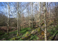
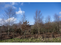
Winter trees in the lower part of Ritton Copse
-
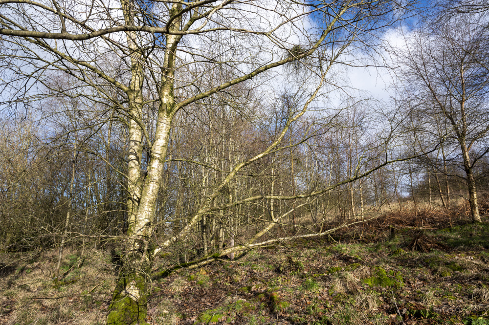
Mature Silver Birch shining in the winter sun
-
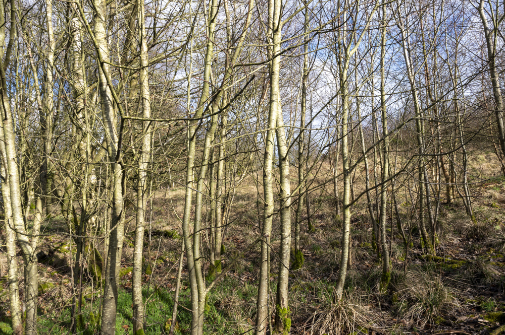
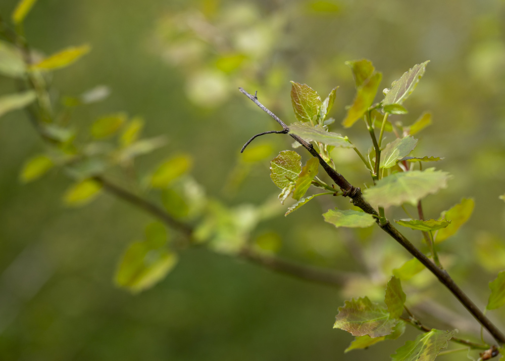
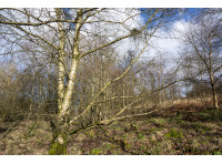
Winter and the young trees
-
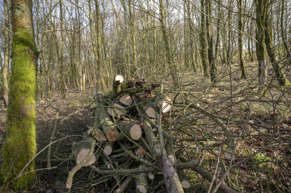
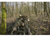
Windblow firewood
-
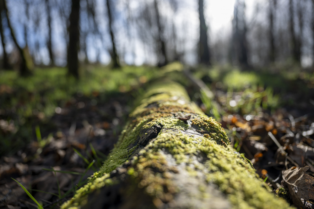
Winter Woodland floor
-
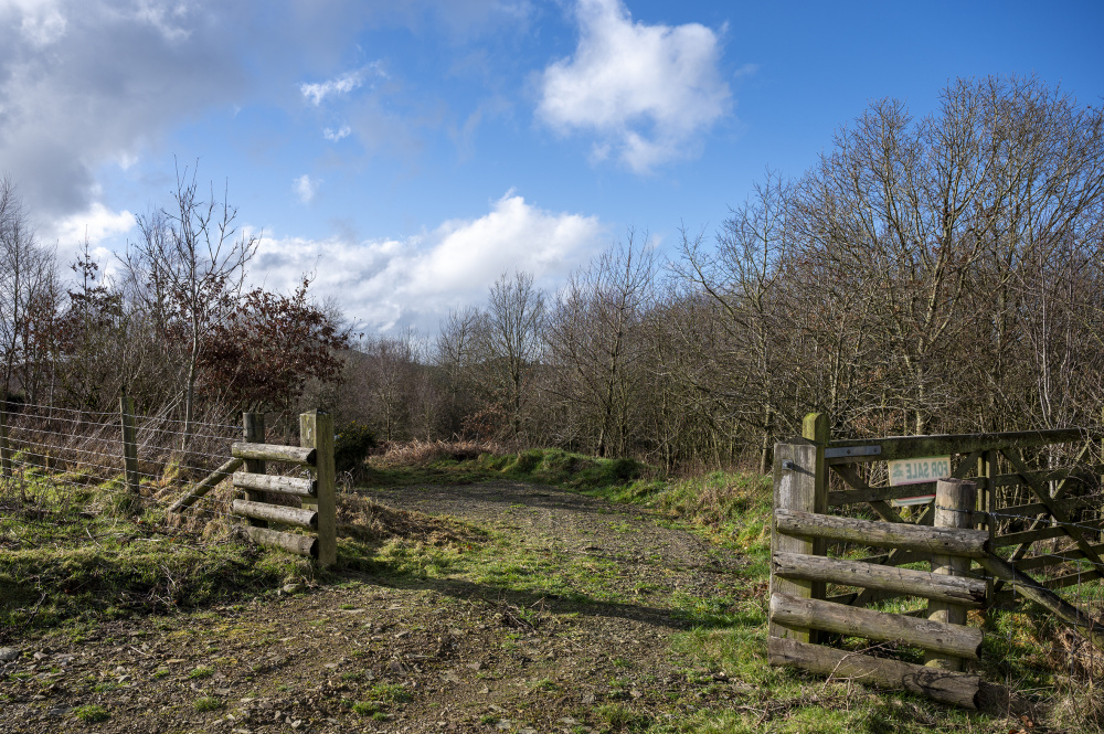
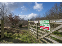
Newly cleared car parking area
-
Boundary with the track
-
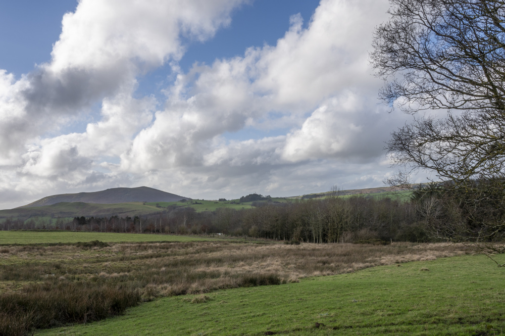
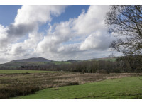
Views of Ritton Copse and the hills beyond
-
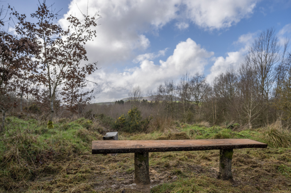
Winter views from the bench
-


Description
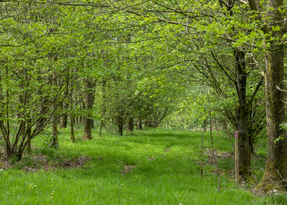
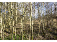
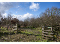
Ritton Copse is accessed through a gate which leads to a flat area for parking. From here brush cut paths lead into the woodlands. To the west there is a large area of planted Silver Birch, now reaching an age where some simple woodland management and thinning would encourage strong and straight growth and life on the woodland floor would bloom. There is the potential for lots of firewood here as it would be easy to access, process and extract.
In the spring and summer, cherry and rowan trees paint the woodland with colour. There are patches of Bluebells and Stitchwort on the woodland floor.
Following the path towards the southern boundary, have a look for a bench in a clearing, a great place to appreciate the views and sunsets over the hills towards Churchstoke. Following this path down, the boundary is a stream. The other pathway leads you to a mature avenue of trees separating the different areas within the woodland.
With some woodland management, Ritton Coppice will mature into a varied and diverse woodland. Clearings could be used for family activities, perhaps some family camping, and the coppiced areas harvested for firewood. The woodland offers something for everyone who has a little bit of green in their heart.
Trees
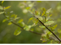
Ritton Copse is full of broadleaf trees. There is a large amount of Silver Birch, as well as a range of Alder, Cherry, Ash, Rowan, Oak, Sycamore, Holly and Hawthorn amongst others. The soil is fertile.
Wildlife
Ritton Copse is surrounded by open hedged fields and other woodland rather than fences which allows wildlife to roam freely. Muntjac, badger, moles, voles, rabbits and much more call this area home. While we were working there we saw evidence of birds or prey, including Red Kites.
Recently we have heard the call of Eurasian Curlews.
Features
Ritton Copse is mostly flat, with a slight drop towards the south west, making it a bright and open woodland. There are two seasonal streams, on the top and bottom border. There is an old avenue/track that runs along the western border.
Access, tracks and footpaths
One public footpath historically crossed the south-eastern side of the land, but walkers seems now to follow the main track and the footpath is not easily accessed from the land neighbouring to the west.
The recently extended stone track enables the woodland to be accessed with an ordinary car at any time of the year.
Rights and covenants
As is the case for all our woodlands, the purchaser will be asked to enter into a covenant which serves to protect the peace and quiet of the woodland.
Activities
As you approach Ritton Copse, the The Bog Visitor Centre is at the junction, and during the season it offers light refreshments and lots of local history and knowledge of the area.
The area is popular for it's walks and history, and is within the Shropshire Hills National Landscape (or AONB as it used to be called). Standing out from the landscape, are the stunning Stiperstones. These are within walking distance of Ritton Copse, especially gorgeous in the early morning light, and steeped in history. There are clearly marked pathways and circular routes from which to visit the rocks.
On the other side is the Shooting Range and also Horse riding.
Local area and history
The Bog was once a thriving village with over 200 buildings. Now just a few remain, including the Visitor Centre; based in the old school. The school was open at the Bog 1839-1968, 129 years in total. It is possible to wander around some of the old mine buildings from the centre.
Going further back there is mention of Eric the Wild in the Doomsday book. After leading all kinds of rebellions, attempting to burn Shrewsbury down, he later went on to attack Scotland, before retiring quietly to the local area.
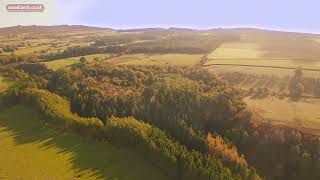
Wood maps
This wood is now sold, please do not visit the wood without the permission of the owner.
Find this wood
This wood is now sold, please do not visit the wood without the permission of the owner.
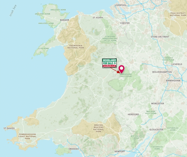
Location
- OS Landranger: OS No. 137
- Grid ref: SO 344 975
- Nearest post code: SY5 0NG
- GPS coordinates: 52.572, -2.9677
Location map
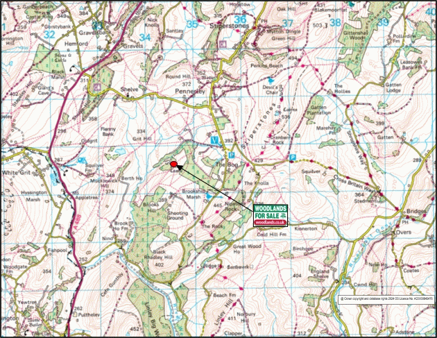
Directions
Nearest postcode takes you to The Bog farm, but stay on the road towards The Bog Visitor Centre. When coming from the north, Stiperstones/Shelve, keep continue to the end of the straight road (a quarter of a mile past Bog Farm) and the centre is on the side of the road to your right.
Follow the track (good enough for an ordinary car driven slowly) down the side of the visitors centre for approximately 300 metres, past a turn to the left, and continue to follow the small WOODLANDS FOR SALE arrow signs for another 200m or so. Here you will find a gate on the left hand side with a WOODLANDS ACCESS sign.
Please call in advance for the gate access code. If you do not have the code, park to the right of the gate, without blocking access, and continue on foot.
Coordinates for this gate:
- Lat/Long: 52.576428,-2.9611775
- what3words: acre.splat.impeached
Through this gate, follow the signs for 100m till you get to a right turn, turn right and then after approximately 100m there will is a gate with a parking bay. Please park here.
Walk along the track for approximately 100 metres and the sign for RITTON COPSE is on your right hand side.
How we support our buyers
Membership of the small woodland owners’ group
£300 for a woodland course of your choice
One year's free membership of the royal forestry society
Please note this wood is owned by woodlands.co.uk.
Our regional managers are often out working in our woodlands, so if you email an offer and want to be sure it has been received, please phone our manager on their mobile phone. The first offer at the stated price which is accepted, whether by phone or email, has priority.
Please take care when viewing as the great outdoors can contain unexpected hazards and woodlands are no exception. You should exercise common sense and caution, such as wearing appropriate footwear and avoiding visiting during high winds.
These particulars are for guidance only and, though believed to be correct, do not form part of any contract. Woodland Investment Management Ltd hereby give notice under section 21 of the Estate Agents Act 1979 of their interest in the land being sold.
Ritton Copse is a beautiful, flat young woodland, full of life and with huge potential. Set in a rural location in the rolling Shropshire hills, it boasts a mix of Birch, Oak, Cherry, Alder, Sycamore, Holly, Ash and more.